


Die Tour führt von Dormagen aus über die Dörfer zur Allrather Höhe. Hier ist unsere erste "Bergwertung" - bei der Abfahrt aufpassen, die Strecke ist nicht sehr gut.
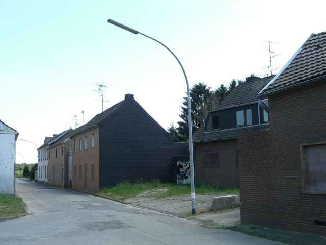
Es geht weiter zum Tagebau Garzweiler - ein Abstecher zum Aussichtspunkt lohnt. Im Western geht es über "Geisterdörfer" und in großem Bogen wieder zurück nach Dormagen.
Es geht weiter zum Tagebau Garzweiler - ein Abstecher zum Aussichtspunkt lohnt. Im Western geht es über "Geisterdörfer" und in großem Bogen wieder zurück nach Dormagen.
Further information at
http://de.wikipedia.org/wiki/GarzweilerTour gallery
Tour map and elevation profile
Minimum height 31 m
Maximum height 171 m
More about the tour author

|
Comments
Dormagen liegt an der A57 zwischen Neuss/Düsseldorf und Köln. An der Ausfahrt gibt es einen Parkplatz für PKW.
Die Tour beginnt/endet in der Nähe dieses Parkplatzes!
Die Tour beginnt/endet in der Nähe dieses Parkplatzes!
GPS tracks
Trackpoints-
GPX / Garmin Map Source (gpx) download
-
TCX / Garmin Training Center® (tcx) download
-
CRS / Garmin Training Center® (crs) download
-
Google Earth (kml) download
-
G7ToWin (g7t) download
-
TTQV (trk) download
-
Overlay (ovl) download
-
Fugawi (txt) download
-
Kompass (DAV) Track (tk) download
-
Track data sheet (pdf) download
-
Original file of the author (gpx) download
More about the tour author
|
|
Add to my favorites
Remove from my favorites
Edit tags
Open track
My score
Rate
Schöne Ecke
Gruss 737
http://www.gps-tour.info/de/touren/detail.75894.html