


Sehr schwere bis Extreme Tour !!!
Start am kostenlosen Parkplatz (Viehmarktplatz)
Anreise mit der Bahn: vom Bahnhof in Immenstadt zum Startplatz in ca. 2min.
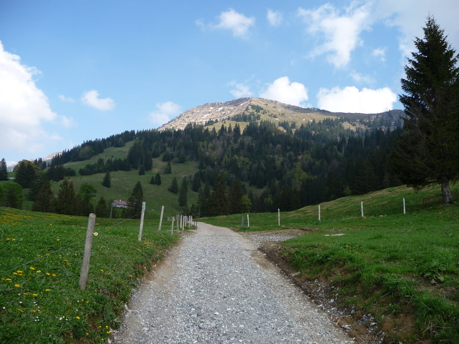
Lange, teils sehr extrem steile Aufahrten! Hochgrat (Schotter) und Bärenköpfle (Asphalt).
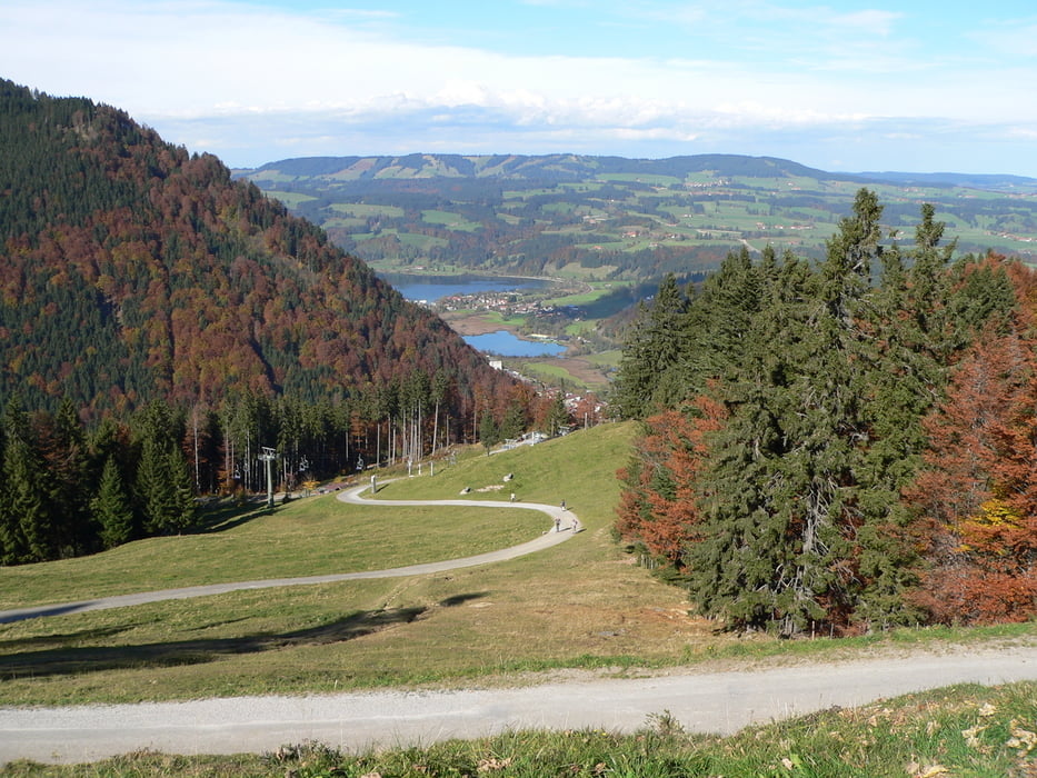
Schöne lange Abfahrten durchs Weißachtal, vom Scheidwangpaß, Höllrizer Alpe (auf altem,verfallenen Weg), von der Mittagsstation.Kleine Schiebepassage ab der Hochgrat-Bergstation zur Gelchenwangalpe ca.15min
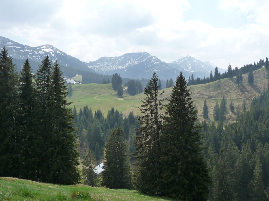
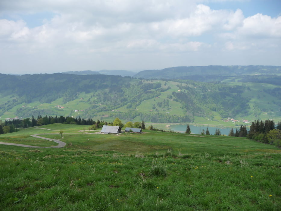
Landschaftlich ein Traum! Schöne Aussicht auf den großen Alpsee, vom Hochgrat hat man eine Aussicht bis zum Bodensee.
Viele Einkehrmöglichkeiten. (z.B.Naturfreundehaus, Hochgrat, Höllritzer Alp, Mittag)
Achtung bei km 53.5 in Gunzesried habe ich mich verfahren.Einfach geradeaus bleiben.
Further information at
http://www.immenstadt.de/Tour gallery
Tour map and elevation profile
Minimum height 726 m
Maximum height 1734 m
More about the tour author
|
|
Roland1978 |
Comments
Bahn.Bahnhof in Immenstadt zum Startplatz ca.3min.
Vom Bahnhof raus,lings zum Kreißverkehr.
Kreisverkehr 1 Ausfahrt raus(Missener Str.),nach 150m beginnt die Tour.
GPS tracks
Trackpoints-
GPX / Garmin Map Source (gpx) download
-
TCX / Garmin Training Center® (tcx) download
-
CRS / Garmin Training Center® (crs) download
-
Google Earth (kml) download
-
G7ToWin (g7t) download
-
TTQV (trk) download
-
Overlay (ovl) download
-
Fugawi (txt) download
-
Kompass (DAV) Track (tk) download
-
Track data sheet (pdf) download
-
Original file of the author (gpx) download
More about the tour author
|
|
Roland1978 |
Add to my favorites
Remove from my favorites
Edit tags
Open track
My score
Rate
Hochgrat
Die ultimative "Tortour"