


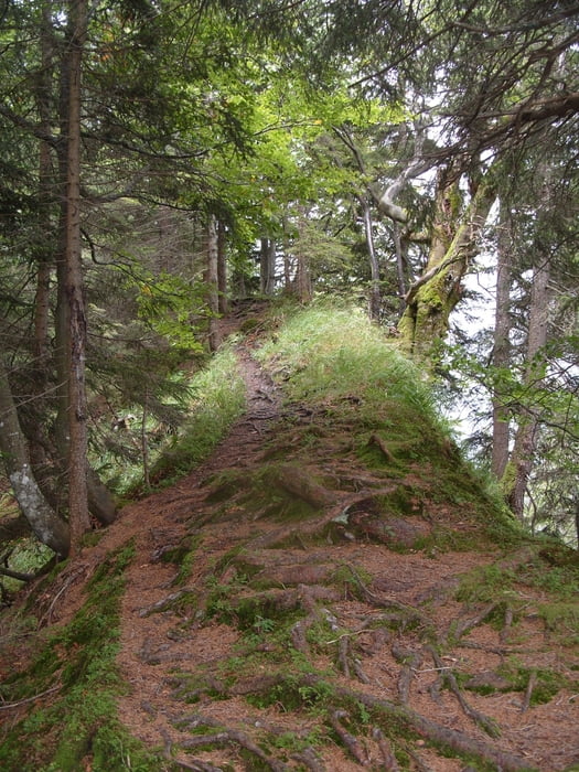
Wandertour in alpinem Gelände von Schnepfau-Hirschau auf den Gopf(berg) und am Grat entlang.
Etwas anspruchsvollere Wandertour. Richtung Gopf wird das Gelände recht steil und exponiert.
Gutes Schuhwerk und Stöcke schaden hier nicht, insbesondere bei feuchtem Wetter. Der Aufstieg ab Kau ist bei feuchtem Wetter recht glitschig, der Abstieg hat einige kurze Stellen mit Seilsicherung wo man die Hände braucht, der Weg ist aber rot-weiß-rot markiert.
Tour gallery


Tour map and elevation profile
Minimum height 636 m
Maximum height 1303 m
More about the tour author
|
|
skyhopper |
Comments

Schnepfau liegt bei Mellau an der alten Landstraße Richtung Schoppernau.
GPS tracks
Trackpoints-
GPX / Garmin Map Source (gpx) download
-
TCX / Garmin Training Center® (tcx) download
-
CRS / Garmin Training Center® (crs) download
-
Google Earth (kml) download
-
G7ToWin (g7t) download
-
TTQV (trk) download
-
Overlay (ovl) download
-
Fugawi (txt) download
-
Kompass (DAV) Track (tk) download
-
Track data sheet (pdf) download
-
Original file of the author (gpx) download
More about the tour author
|
|
skyhopper |
Add to my favorites
Remove from my favorites
Edit tags
Open track
My score
Rate