


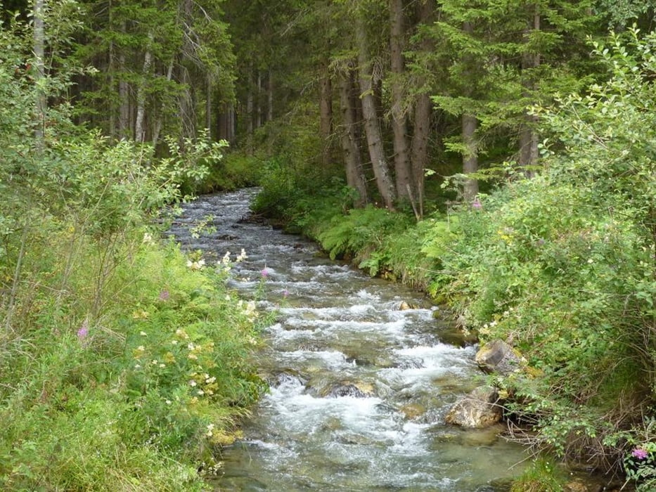
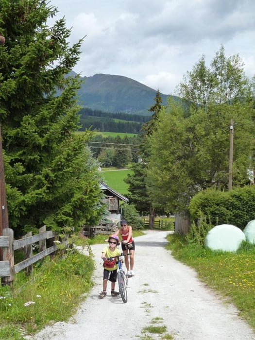
Nette, familientaugliche Runde von Tamsweg über St. Andrä, entlang der Taurach, dann entlang der Lignitz bis Lintsching, durch den Graben über Zankwarn und Örmoos (hier ev. kurze Schiebestrecke für Konditionsschwache Familienmitglieder) bis auf den Höhe "hinter" bzw "über" Mariapfarr.
Weiter in Richtungg Weisspriachtal, beim Abstieg dorthin Abzweigung nach Mariapfarr, durch den Ort und abwärts zur Taurachpromenade.
Zurück bis zur Einmündung der Lignitz und dann rechts ab auf der Straße Richtung B95 (hier ev. kurze Schiebestrecke für Konditionsschwache Familienmitglieder).
Unmittelbar vor der Kreuzung links ab in den Wald (links an der kleinen Kapelle vorbei) und vorbei an der mittelalterlichen Richtstätte (Hexenverbrennung!)
Abfahrt nach St. Andrä. Weiter entlang der Anfahrtsroute bis Tamsweg.
Tour gallery
Tour map and elevation profile
Minimum height 1008 m
Maximum height 1183 m
More about the tour author
|
|
andy1965 |
Comments

GPS tracks
Trackpoints-
GPX / Garmin Map Source (gpx) download
-
TCX / Garmin Training Center® (tcx) download
-
CRS / Garmin Training Center® (crs) download
-
Google Earth (kml) download
-
G7ToWin (g7t) download
-
TTQV (trk) download
-
Overlay (ovl) download
-
Fugawi (txt) download
-
Kompass (DAV) Track (tk) download
-
Track data sheet (pdf) download
-
Original file of the author (gpx) download
More about the tour author
|
|
andy1965 |
Add to my favorites
Remove from my favorites
Edit tags
Open track
My score
Rate