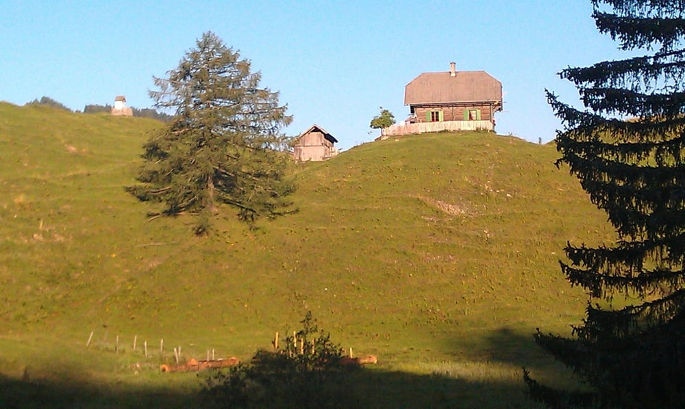
Runde über zwei entlegene Almen in der Nähe des Weissensees. Tolle Abfahrt nach der Waisacher Alm. Später am Tschabitscher fährt man einige Wanderwege am Gipfel ab.
Tour map and elevation profile
Minimum height 588 m
Maximum height 1205 m
Comments

GPS tracks
Trackpoints-
GPX / Garmin Map Source (gpx) download
-
TCX / Garmin Training Center® (tcx) download
-
CRS / Garmin Training Center® (crs) download
-
Google Earth (kml) download
-
G7ToWin (g7t) download
-
TTQV (trk) download
-
Overlay (ovl) download
-
Fugawi (txt) download
-
Kompass (DAV) Track (tk) download
-
Track data sheet (pdf) download
-
Original file of the author (gpx) download
Add to my favorites
Remove from my favorites
Edit tags
Open track
My score
Rate

