Login

Forgotten password?

Cookies have to be accepted!
Your browser's cookie functionality is disabled. Please enable this functionality.

Not a member yet?

Register now
Login

Available for registred users only

Log in to use this feature.

Forgotten password?

Cookies have to be accepted!
Your browser's cookie functionality is disabled. Please enable this functionality.

Not a member yet?

Register now
Filter
Categories
Advanced filters
  • Distance (km)
  • Height
Save filters Reset filter

TrackRank

QRCode

Technical data

Distance23,8 km Height293 m Way down293 m Duration02:10 h:m Date21.08.2011
Scores Author Landscape Fun factor Fitness Technique

Statistics

201 Views Scores 14 Downloads Average
Rate
  • Track data sheet
  • Directions
  • Downloads
Erster Versuch, ist noch nicht ernst zu nehmen, ich übe noch.

Further information at

http://www.vogelsbergkreis.city-map.de/08000000/16184/Lauterbach_-_Frischborn

Tour gallery

Tour map and elevation profile

  • Open Street Map
  • Google
Minimum height 319 m Maximum height 483 m Detailed view

More about the tour author

manhai
Member since 2011

Send private message

Comments

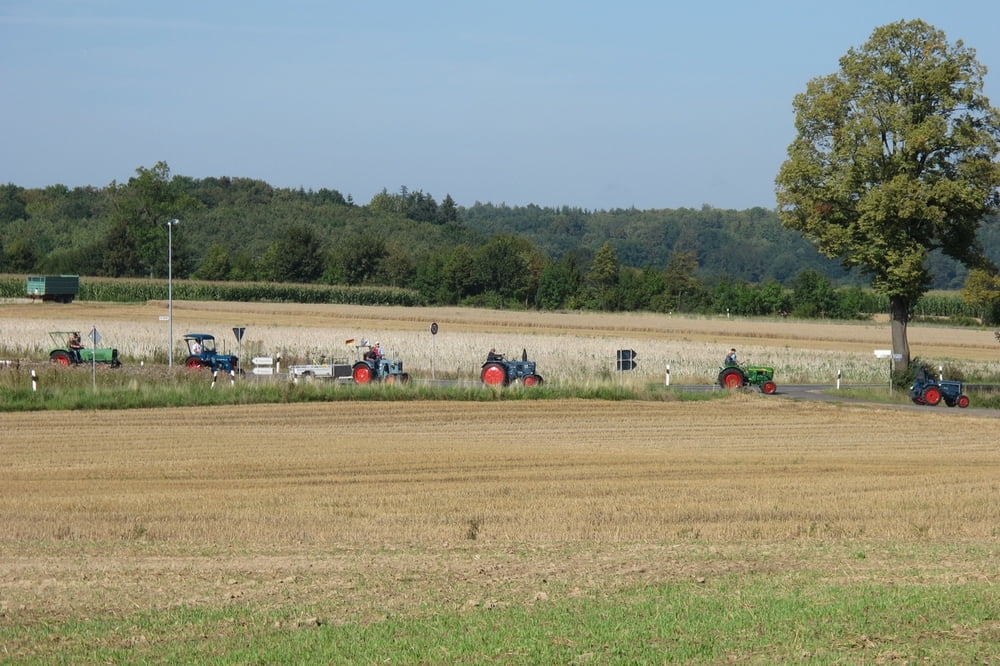
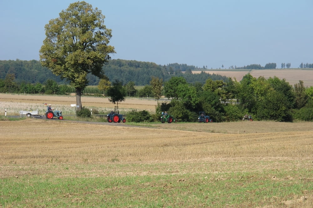
36341 Lauterbach, Frischborn 

GPS tracks

Trackpoints
  • GPX / Garmin Map Source (gpx) download
  • TCX / Garmin Training Center® (tcx) download
  • CRS / Garmin Training Center® (crs) download
  • Google Earth (kml) download
  • G7ToWin (g7t) download
  • TTQV (trk) download
  • Overlay (ovl) download
  • Fugawi (txt) download
  • Kompass (DAV) Track (tk) download
  • Track data sheet (pdf) download
  • Original file of the author (gpx) download

More about the tour author

manhai
Member since 2011

Send private message
Share track
Add to my favorites
Remove from my favorites
Edit tags
My score
Rate
Track: Wallenrod
Type: Bicycle tours
Distance: 23,8 km
Evaluated on:
Duration:
Day(s)
Hour(s)
Minute(s)
Score: Landscape Fun factor Fitness Technique