


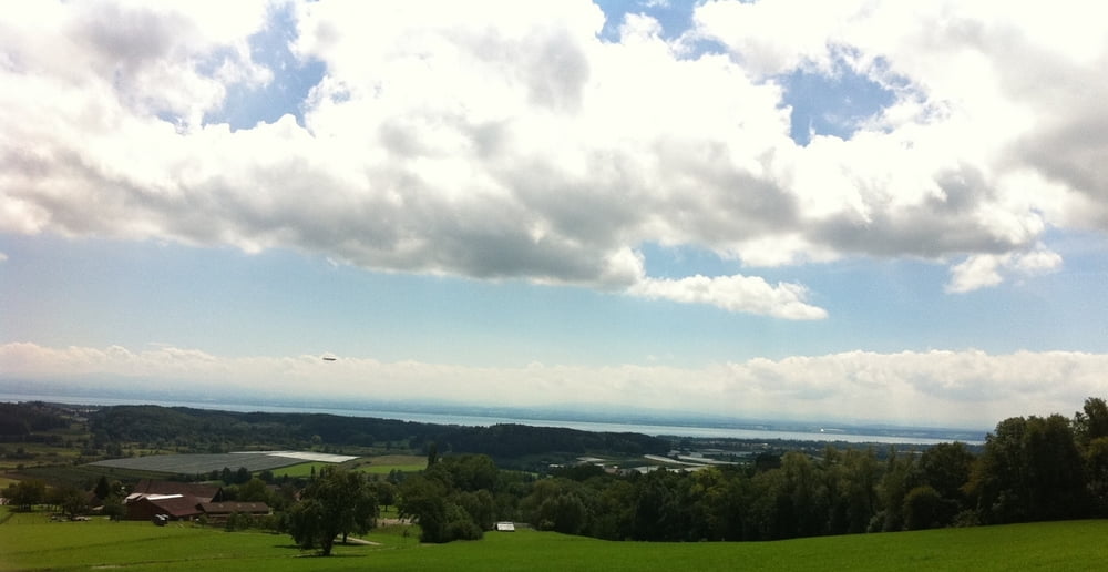
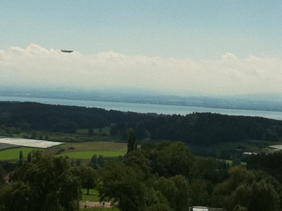
Die Tour startet in Tettnang und führt über Meckenbeuren, Brochenzell und Taldorf Richtung Markdorf. In Hepbach biegt man Richtung Gehrenberg ab. Der Weg führt auf Forstwegen bis zur "Gipfelhütte". Die Steigung liegt meistens zwischen 5 und 10 %.
Von da aus fährt man wieder Richtung Hepbach auf einer anderen Route ab. Die Abfahrt beinhaltet zwei Trails der Kategorie S1/S2. Der Schwierigkeitsgrad erhöht sich bei feuchter Witterung, da die Trails dann recht schlammig und rutschig (Wurzeln!) sind.
Die Rückfahrt nach Tettnang erfolgt von Hepbach aus über Oberteuringen, Brochenzell und Meckenbeuren.
Tour gallery
Tour map and elevation profile
Minimum height 400 m
Maximum height 723 m
More about the tour author
|
|
guemmer |
Comments

Die Tour startet in Wohngebiet Tettnang-Oberhof.
GPS tracks
Trackpoints-
GPX / Garmin Map Source (gpx) download
-
TCX / Garmin Training Center® (tcx) download
-
CRS / Garmin Training Center® (crs) download
-
Google Earth (kml) download
-
G7ToWin (g7t) download
-
TTQV (trk) download
-
Overlay (ovl) download
-
Fugawi (txt) download
-
Kompass (DAV) Track (tk) download
-
Track data sheet (pdf) download
-
Original file of the author (gpx) download
More about the tour author
|
|
guemmer |
Add to my favorites
Remove from my favorites
Edit tags
Open track
My score
Rate