


Teil 2 der Wochened Transalp
1500 HM zum Schlüsseljoch haben es in sich. Man startet zwar schon bei 600 und n' bischen was, was für "Flachland-Tyroler" schon gut ist, aber dann steigt's und steigt's....
...und dann gehts bergab. Schöne Abfahrt auf einem breiten Fahrweg (später Teer) ins Tal bis Finkenberg.
Irgendwann ist man im Zillertal, dann gehts ins abgeschiedene Seitental vorbei an Ginzling um Breitlahner.
Geheimtip!
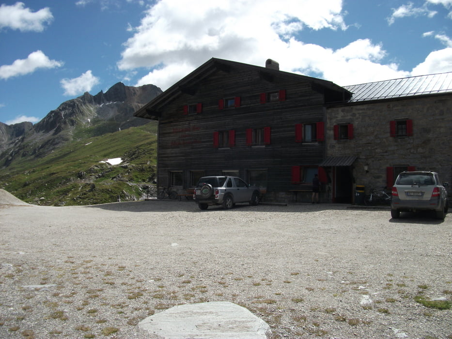
Nicht beim Breitlahner übernachten, sondern weiter zum Schlegeisspeicher und dann in die Dominikus Hütte.
Schöne Zimmer 1a Aussicht vor allem Morgens mit Sonnenaufgang!
Sehr guter und familiärer Service !!!
Empfehlenswert!!!
Further information at
http://www.dominikushuette.at/Tour gallery

Tour map and elevation profile
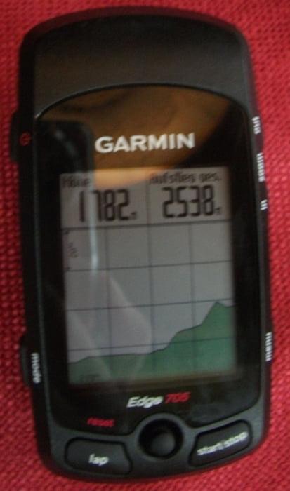
Minimum height 759 m
Maximum height 2273 m
More about the tour author
|
|
messer1 |
Comments

Anfahrt mit dem MTB von Mittenwald über Via Migra Vol.1
Das dies eine Transalp Tour ist, ergibt sich die Anfahrt. Wenn nicht dann einfach ins Auto ab zur Grenze nach Insbruck. Dann ein paar Kilometer nach OSten RIchtung Zillertal und kurz davor nach Weerberg.
GPS tracks
Trackpoints-
GPX / Garmin Map Source (gpx) download
-
TCX / Garmin Training Center® (tcx) download
-
CRS / Garmin Training Center® (crs) download
-
Google Earth (kml) download
-
G7ToWin (g7t) download
-
TTQV (trk) download
-
Overlay (ovl) download
-
Fugawi (txt) download
-
Kompass (DAV) Track (tk) download
-
Track data sheet (pdf) download
-
Original file of the author (gpx) download
More about the tour author
|
|
messer1 |
Add to my favorites
Remove from my favorites
Edit tags
Open track
My score
Rate