


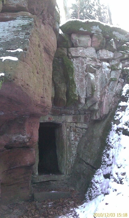
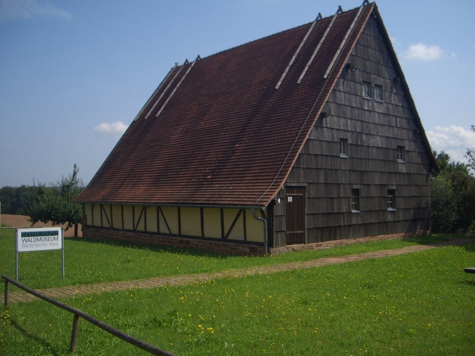
Die Runde startet am Marktplatz in Kirchzell. Den Bücherweg entlang nach Buch, Richtung Wildenburgparkplatz. Am Parkplatz beginnt eine ca 80 Höhenmeter Steigung hinauf zur Wildenburg. Oberhalb der Wildenburg, am Teeplatz vorbei, verläuft die Runde am Waldmuseum Watterbacher Haus vorbei nach Preunschen. Hier empfiehlt sich eine Besichtigung im Watterbacher Haus. Am Preunschner Friedhof vorbei, verläuft die Runde den Wald hinab nach Kirchzell. Wer abseits des Waldweges laufen will, kann auch die Abkürzung (Sehr steil) Von Preunschen nach Kirchzell laufen.
Je nach Laune, kann die Runde auch anderes Herum gelaufen werden.
Tour gallery

Tour map and elevation profile
Minimum height 180 m
Maximum height 490 m
More about the tour author

|
Joker28 |
Comments

63931 Kirchzell
GPS tracks
Trackpoints-
GPX / Garmin Map Source (gpx) download
-
TCX / Garmin Training Center® (tcx) download
-
CRS / Garmin Training Center® (crs) download
-
Google Earth (kml) download
-
G7ToWin (g7t) download
-
TTQV (trk) download
-
Overlay (ovl) download
-
Fugawi (txt) download
-
Kompass (DAV) Track (tk) download
-
Track data sheet (pdf) download
-
Original file of the author (gpx) download
More about the tour author
|
|
Joker28 |
Add to my favorites
Remove from my favorites
Edit tags
Open track
My score
Rate