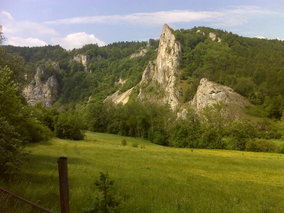
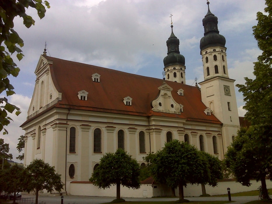
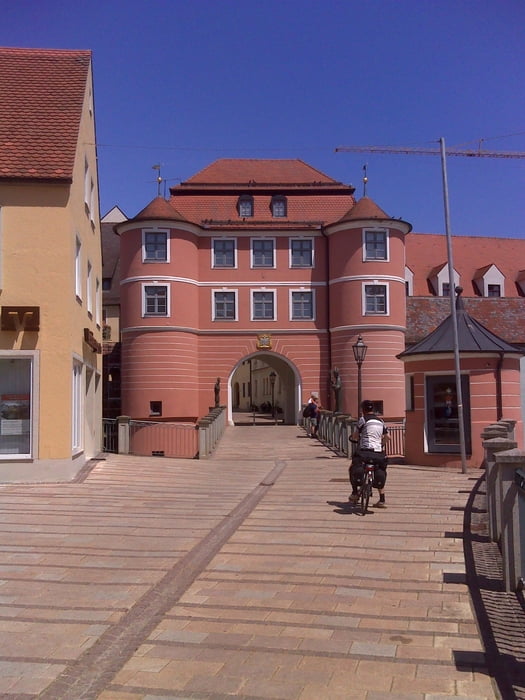
Login

Forgotten password?

Cookies have to be accepted!
Your browser's cookie functionality is disabled. Please enable this functionality.

Not a member yet?

Register now
Login

Available for registred users only

Log in to use this feature.

Forgotten password?

Cookies have to be accepted!
Your browser's cookie functionality is disabled. Please enable this functionality.

Not a member yet?

Register now
Filter
Categories
Advanced filters
  • Distance (km)
  • Height
Save filters Reset filter

TrackRank

QRCode

Technical data

Distance306,2 km Height1076 m Way down1192 m Duration00:00 h:m Date23.08.2011
Scores Author User Landscape Fun factor Fitness Technique

Statistics

624 Views 1 Score 178 Downloads 4.00 Average
Rate
  • Track data sheet
  • Directions
  • Downloads

Donautour, Oberlauf

i.w. entlang des Donauradwegs


inkl Übernachtung in ..., Siegmaringen, ...

Tour gallery

Tour map and elevation profile

  • Open Street Map
  • Google
Minimum height 424 m Maximum height 588 m Detailed view

More about the tour author

dummysch
Member since 2010

Send private message

Comments

fiatsiegfried on 17.05.2012

Donautour Oberlauf

Super Tour


Anfahrt mit Zug nach Donaueschingen


Rückfahrt mit Zug ab Donauwörth

GPS tracks

Trackpoints
  • GPX / Garmin Map Source (gpx) download
  • TCX / Garmin Training Center® (tcx) download
  • CRS / Garmin Training Center® (crs) download
  • Google Earth (kml) download
  • G7ToWin (g7t) download
  • TTQV (trk) download
  • Overlay (ovl) download
  • Fugawi (txt) download
  • Kompass (DAV) Track (tk) download
  • Track data sheet (pdf) download
  • Original file of the author (gpx) download

More about the tour author

dummysch
Member since 2010

Send private message
Share track
Add to my favorites
Remove from my favorites
Edit tags
My score
Rate
Track: Donau: Donaueschingen - Donauwörth
Type: Bicycle tours
Distance: 306,2 km
Evaluated on:
Duration:
Day(s)
Hour(s)
Minute(s)
Score: Landscape Fun factor Fitness Technique