
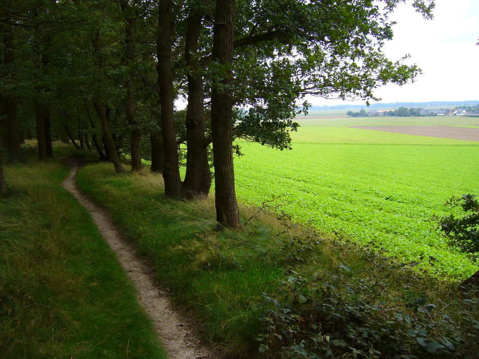

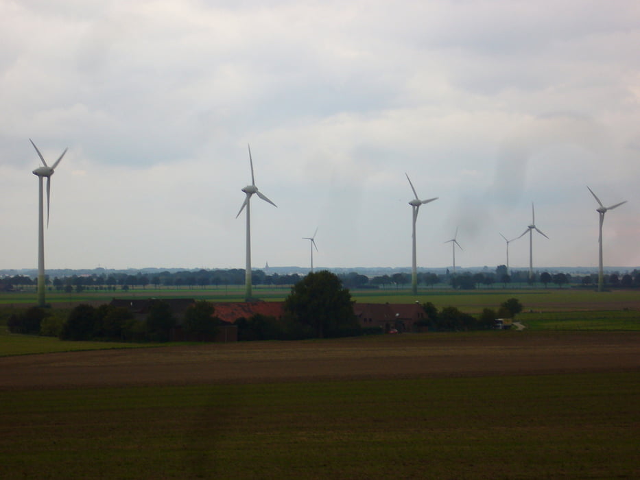
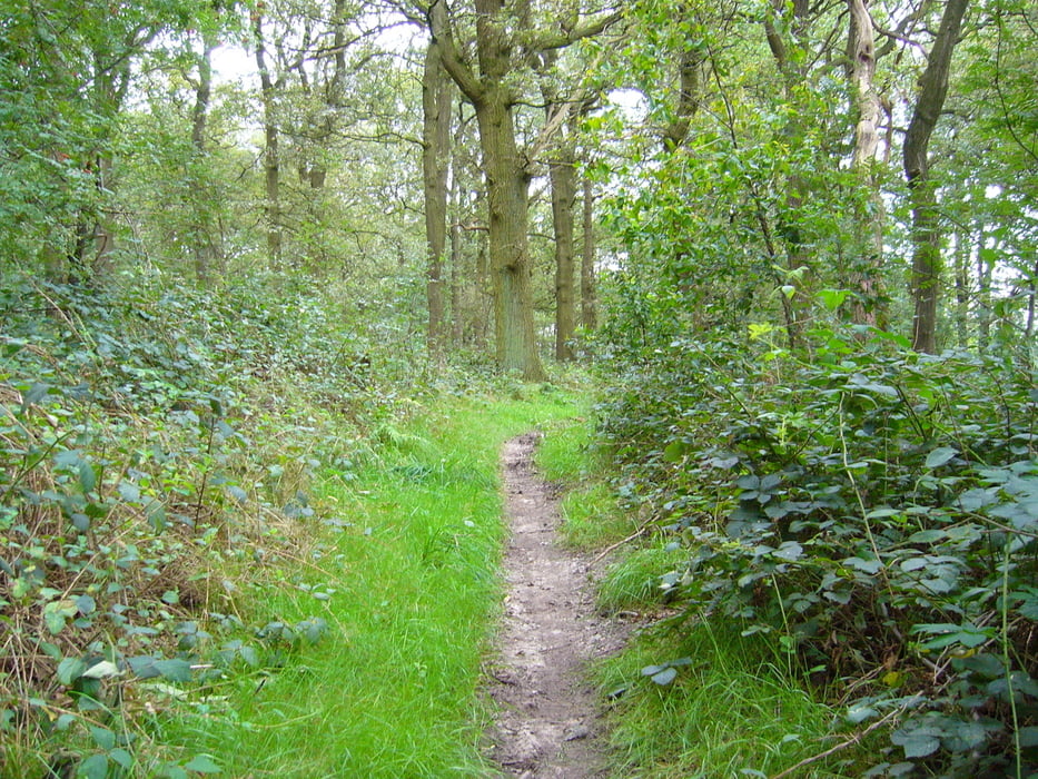
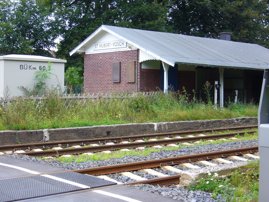
Die Tour startet am Bahnhof-Voesch ,wo auch eine Parkmöglichkeit besteht. Man fahrt durch die Seidlung an der Furth richtung Escheln,dann am Baggersee vorbei nach Stenden.Ein Stück die Dorfstr. richtung A40, parallel der Abfahrt in den Höhenzug nach westen. Über zu anfangs einen schmalen Trail ist man schnell auf der Kammhöhe.Zunächst über ein stück Betonweg,dann breite Schotterwege in die Trails richtung Rheurdt. Mit schnellen auf und abfahrten abwechselungsreiche tolle Tour.Der Rückweg ist zum teil auf der des Hinweges aber keineswegs langweilig.An einigen Stellen hat man schöne Ausblicke auf den Niederrhein und das angrenzende Ruhrgebiet.Die Tour endet wieder am Bahnhof-Voesch.
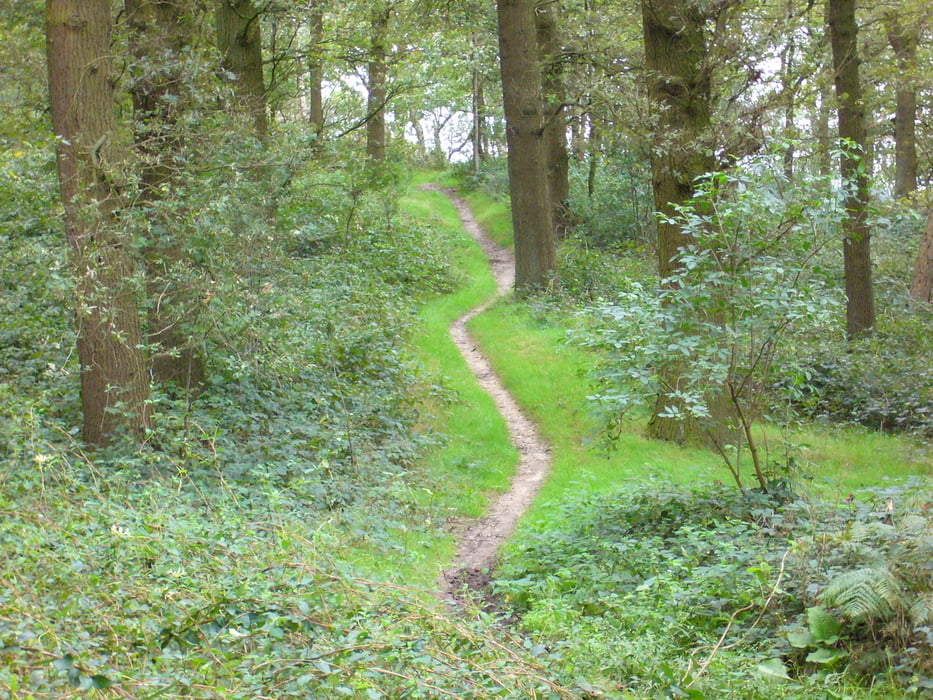
Tour gallery
Tour map and elevation profile
Minimum height 19 m
Maximum height 77 m
More about the tour author
|
|
julem |
Comments

Über die L362 Kempen-Aldekerk. Ortsteil Voesch
GPS tracks
Trackpoints-
GPX / Garmin Map Source (gpx) download
-
TCX / Garmin Training Center® (tcx) download
-
CRS / Garmin Training Center® (crs) download
-
Google Earth (kml) download
-
G7ToWin (g7t) download
-
TTQV (trk) download
-
Overlay (ovl) download
-
Fugawi (txt) download
-
Kompass (DAV) Track (tk) download
-
Track data sheet (pdf) download
-
Original file of the author (gpx) download
More about the tour author
|
|
julem |
Add to my favorites
Remove from my favorites
Edit tags
Open track
My score
Rate