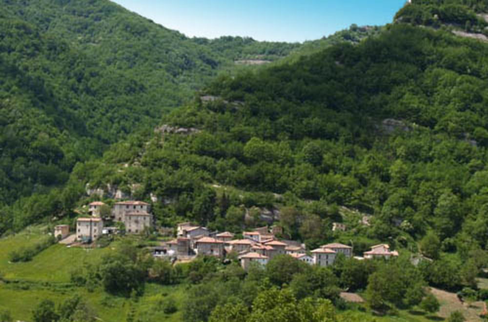
Da Teramo prendere statale81 AscoliPiceno superati il centro di quest'ultima,direzione Valle Castellana, Pascellata. Dopo una salita non esasperante di circa 11 km si arriva al bivio Rocca S. Maria Ceppo. Prendere direzione Rocca S. Maria poi Teramo.
Tour gallery
Tour map and elevation profile
Minimum height 104 m
Maximum height 1045 m
Comments

GPS tracks
Trackpoints-
GPX / Garmin Map Source (gpx) download
-
TCX / Garmin Training Center® (tcx) download
-
CRS / Garmin Training Center® (crs) download
-
Google Earth (kml) download
-
G7ToWin (g7t) download
-
TTQV (trk) download
-
Overlay (ovl) download
-
Fugawi (txt) download
-
Kompass (DAV) Track (tk) download
-
Track data sheet (pdf) download
-
Original file of the author (gpx) download
Add to my favorites
Remove from my favorites
Edit tags
Open track
My score
Rate


