Login

Forgotten password?

Cookies have to be accepted!
Your browser's cookie functionality is disabled. Please enable this functionality.

Not a member yet?

Register now
Login

Available for registred users only

Log in to use this feature.

Forgotten password?

Cookies have to be accepted!
Your browser's cookie functionality is disabled. Please enable this functionality.

Not a member yet?

Register now
Filter
Categories
Advanced filters
  • Distance (km)
  • Height
Save filters Reset filter

TrackRank

QRCode

Technical data

Distance28,9 km Height492 m Way down489 m Duration02:00 h:m Date11.09.2011
Scores Author Landscape Fun factor Fitness Technique

Statistics

744 Views Scores 90 Downloads Average
Rate
  • Track data sheet
  • Directions
  • Downloads


Die Tour ist die mal eben Fit werd Tour, sie ist locker und hat einen längeren Aufstieg, ideal um mal wieder anzufangen.


Tour gallery

Tour map and elevation profile

  • Open Street Map
  • Google
Minimum height 42 m Maximum height 215 m Detailed view

More about the tour author

axelbenz
Member since 2011

Send private message

Comments

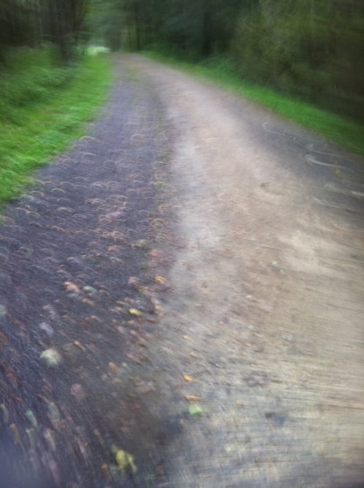
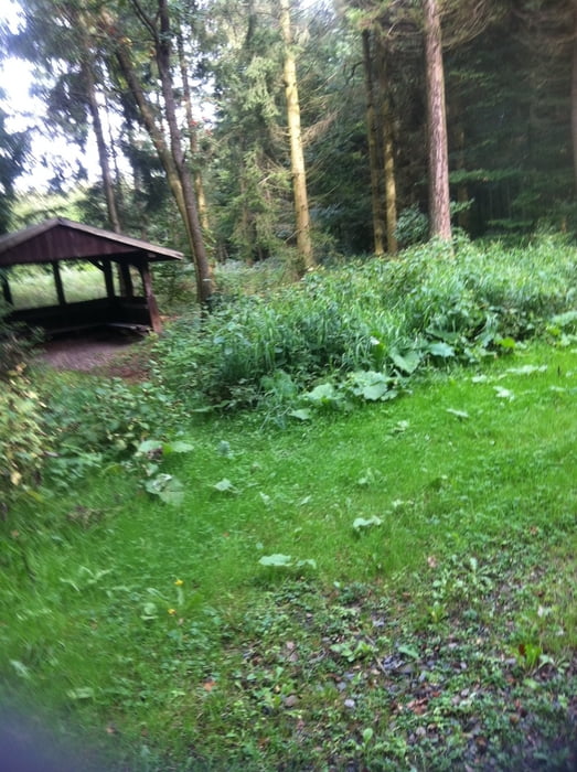
Ab Paffrath Kirche mit ca. 85% Waldanteil

GPS tracks

Trackpoints
  • GPX / Garmin Map Source (gpx) download
  • TCX / Garmin Training Center® (tcx) download
  • CRS / Garmin Training Center® (crs) download
  • Google Earth (kml) download
  • G7ToWin (g7t) download
  • TTQV (trk) download
  • Overlay (ovl) download
  • Fugawi (txt) download
  • Kompass (DAV) Track (tk) download
  • Track data sheet (pdf) download
  • Original file of the author (gpx) download

More about the tour author

axelbenz
Member since 2011

Send private message
Share track
Add to my favorites
Remove from my favorites
Edit tags
My score
Rate
Track: Paffrath-Altenberg-Paffrath
Type: Mountain bike
Distance: 28,9 km
Evaluated on:
Duration:
Day(s)
Hour(s)
Minute(s)
Score: Landscape Fun factor Fitness Technique