


Oberstdorf-Meran
Oberstdorf-Schrofenpass-Flexenpass-Arlbergpass- Verwall-Ischgl-Heidelbergerhütte-Sur En-Uinaschlucht-Schliningpass-Vinschgau-Meran
4 Tage
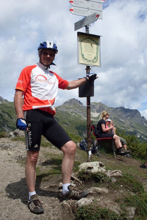
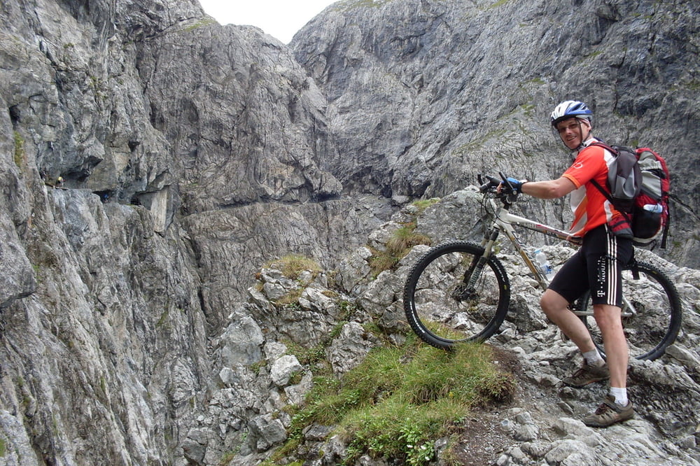
Tour gallery
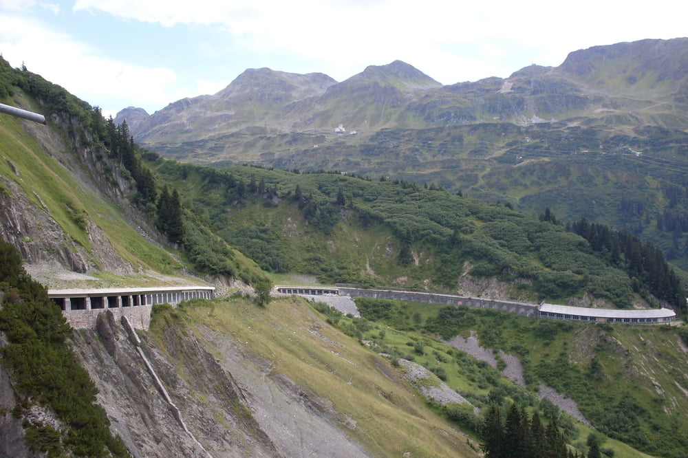
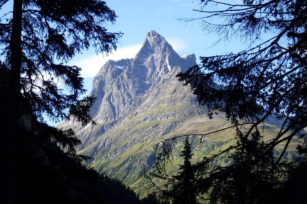
Tour map and elevation profile
Minimum height 303 m
Maximum height 2606 m
More about the tour author
|
|
franke012 |
Comments
Auto bis Oberstdorf Rappenalptal
GPS tracks
Trackpoints-
GPX / Garmin Map Source (gpx) download
-
TCX / Garmin Training Center® (tcx) download
-
CRS / Garmin Training Center® (crs) download
-
Google Earth (kml) download
-
G7ToWin (g7t) download
-
TTQV (trk) download
-
Overlay (ovl) download
-
Fugawi (txt) download
-
Kompass (DAV) Track (tk) download
-
Track data sheet (pdf) download
-
Original file of the author (gpx) download
More about the tour author
|
|
franke012 |
Add to my favorites
Remove from my favorites
Edit tags
Open track
My score
Rate
Alpencross 2011
Klasse Tour
Schöne Kurztransalp mit vielen Highlights
ich war 4 Tage unterwegs und 2 Tage in Meran .
Oberstdorf - St.Anton 54 Km 1525 Hm
St. Anton _ Heidelberger-Hütte 65 Km 2064 Hm
Heidelberger-Hütte - Mals 60 Km 1538 Hm
Mals - Meran 64 Km 154 Hm
Ist echt eine schöne Tour, Natur pur .
Ich fahre die Strecke evtl. im August nochmals .
Viel Spaß. Wenn du noch Info's brauchst gerne.
Mit sportlichen Grüßen
Peter
Frage zum Tourenverlauf
Wenn ja, wie viele circa?
Vielen Dank schonmal für Antworten