Login

Forgotten password?

Cookies have to be accepted!
Your browser's cookie functionality is disabled. Please enable this functionality.

Not a member yet?

Register now
Login

Available for registred users only

Log in to use this feature.

Forgotten password?

Cookies have to be accepted!
Your browser's cookie functionality is disabled. Please enable this functionality.

Not a member yet?

Register now
Filter
Categories
Advanced filters
  • Distance (km)
  • Height
Save filters Reset filter

TrackRank

QRCode

Technical data

Distance15,9 km Height617 m Way down627 m Duration04:00 h:m Date12.09.2011
Scores Author Landscape Fun factor Fitness Technique

Statistics

1305 Views Scores 132 Downloads Average
Rate
  • Track data sheet
  • Directions
  • Downloads

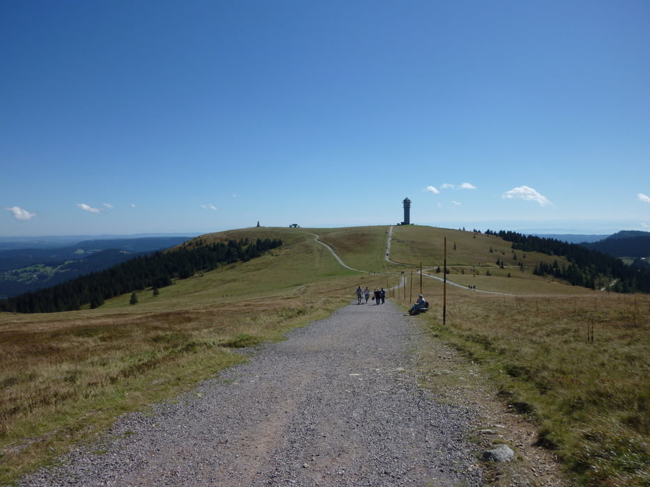
Schöne Wanderung auf den höchsten Berg von Baden-Württemberg.

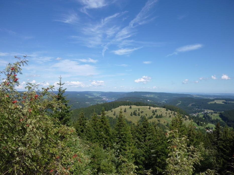
Zum Schluß geht es noch zum 2-Seen-Blick.

Von hier aus sieht man den Titisee und den Schluchsee.


Further information at

http://www.hochschwarzwald.de/content/view/full/255

Tour gallery

Tour map and elevation profile

  • Open Street Map
  • Google
Minimum height 1171 m Maximum height 1493 m Detailed view

More about the tour author

Tom19
Member since 2008

Send private message

Comments

siehe Daten

GPS tracks

Trackpoints
  • GPX / Garmin Map Source (gpx) download
  • TCX / Garmin Training Center® (tcx) download
  • CRS / Garmin Training Center® (crs) download
  • Google Earth (kml) download
  • G7ToWin (g7t) download
  • TTQV (trk) download
  • Overlay (ovl) download
  • Fugawi (txt) download
  • Kompass (DAV) Track (tk) download
  • Track data sheet (pdf) download
  • Original file of the author (gpx) download

More about the tour author

Tom19
Member since 2008

Send private message
Share track
Add to my favorites
Remove from my favorites
Edit tags
My score
Rate
Track: Feldberg und 2-Seenblick
Type: Hiking
Distance: 15,9 km
Evaluated on:
Duration:
Day(s)
Hour(s)
Minute(s)
Score: Landscape Fun factor Fitness Technique