


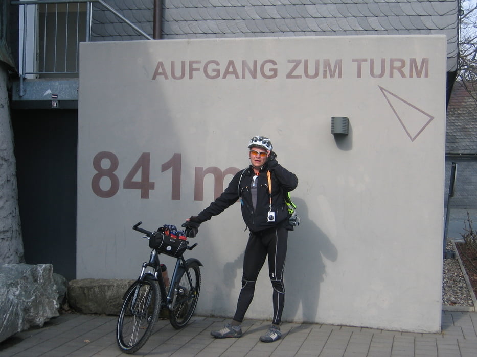
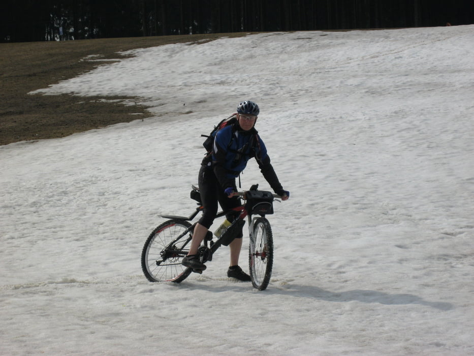
Vom Bahnhof Winterberg aus ging es bei 7° C und noch etwas Schnee auf den Hängen, auf zum Kahlen Asten.
Am Astenturm Wetterstation ging es dann im Sturzflug weiter nach Winterberg zurück auf die Ruhrroute.
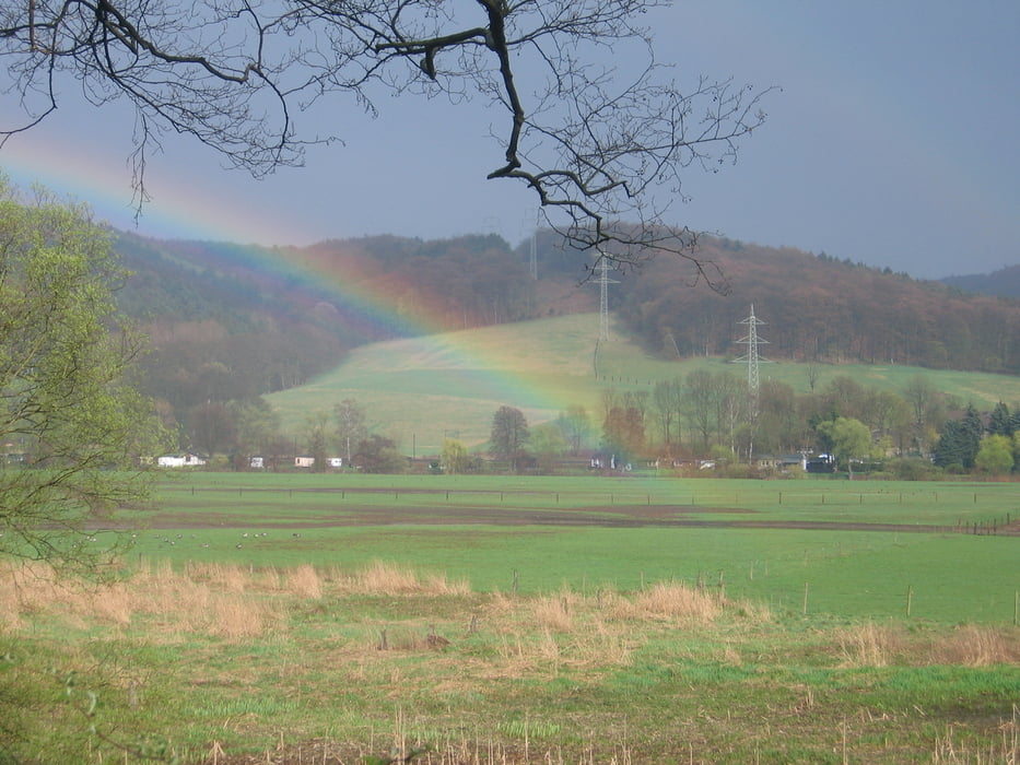
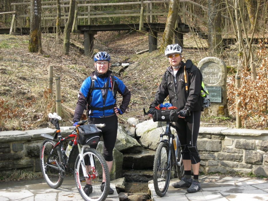
An der Ruhrquelle schießen wir dann noch das obligatorische Foto und strampeln danach bei englischem Landregen weiter in Richtung Arnsberg.
„Ach ist das schön wie der Regen durch die Kleidung geht und der der Gegenwind tut sein übriges: Nicht nur, dass wir elend langsam sind, mein bestes Stück friert dermaßen ein, dass ich kein Gefühl mehr darin habe. ....“ L
In Arnsberg haben wir dann direkt vor der Altstadt eine B&B Radpension gefunden.
Tour gallery
Tour map and elevation profile
Minimum height 184 m
Maximum height 844 m
More about the tour author
|
|
01Mario |
Comments

GPS tracks
Trackpoints-
GPX / Garmin Map Source (gpx) download
-
TCX / Garmin Training Center® (tcx) download
-
CRS / Garmin Training Center® (crs) download
-
Google Earth (kml) download
-
G7ToWin (g7t) download
-
TTQV (trk) download
-
Overlay (ovl) download
-
Fugawi (txt) download
-
Kompass (DAV) Track (tk) download
-
Track data sheet (pdf) download
-
Original file of the author (gpx) download
More about the tour author
|
|
01Mario |
Add to my favorites
Remove from my favorites
Edit tags
Open track
My score
Rate