


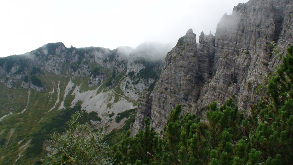
Am Vortag hatten wir "Kaiserwetter", heute "Kaisernebel"!
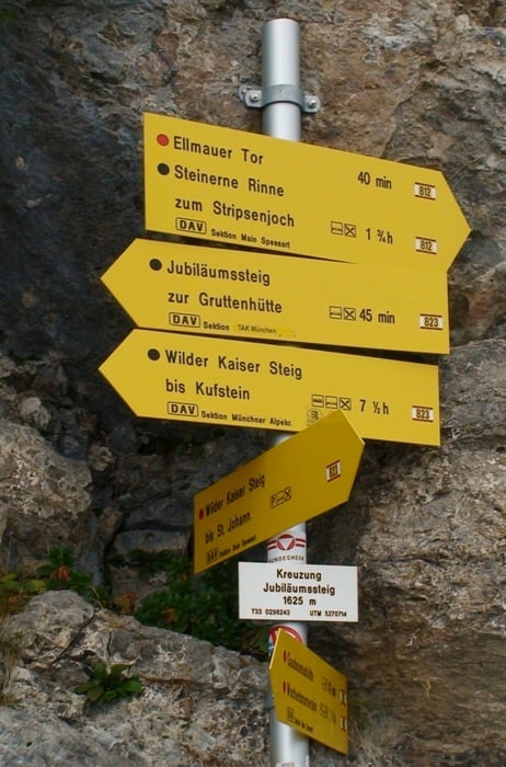
Vom Parkplatz zur "Gaudeamus"- Hütte. Weiter Richtung "Ellmauer Tor". Bald kommt ein Wegweiser: wir folgen Weg "812": "Jubiläumssteig", "Ellmauer Tor" (die Angabe "Ellmauer Tor" 1,25h ist sehr optimistisch).
Abstieg auf gleicher Route.Die Kilometer beziehen sich auf Auf- und Abstieg!
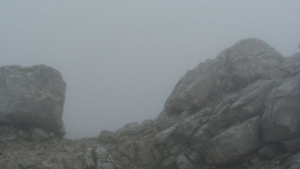
Hilfreich war uns das GPS! Ohne dieses wäre der letzte Ansteig/ Abstieg zum/vom "Ellmauer Tor" bei wenigen Metern Sicht trotz guter Markierungspunkte leichtsinnig gewesen! Ob wir tatsächlich am "Tor" waren, konnten wir nur erahnen, da das GPS 2.000m zeigte.
Auf: 2:25h
Ab: 1:50h
Tour gallery

Tour map and elevation profile
Minimum height 1086 m
Maximum height 1998 m
More about the tour author
|
|
heinz-57 |
Comments

Google Earth: 47.542007° / 12.319164°
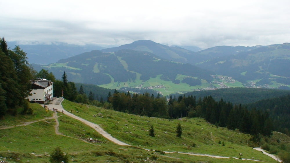
Von der Umgehungsstraße 178 am Golfplatz in Ellmau Wegweiser "Wochenbrunn" nach Norden folgen bis Parkplatz auf Mautsraße zur " Wochenbrunner Alm ".
GPS tracks
Trackpoints-
GPX / Garmin Map Source (gpx) download
-
TCX / Garmin Training Center® (tcx) download
-
CRS / Garmin Training Center® (crs) download
-
Google Earth (kml) download
-
G7ToWin (g7t) download
-
TTQV (trk) download
-
Overlay (ovl) download
-
Fugawi (txt) download
-
Kompass (DAV) Track (tk) download
-
Track data sheet (pdf) download
-
Original file of the author (gpx) download
More about the tour author
|
|
heinz-57 |
Add to my favorites
Remove from my favorites
Edit tags
Open track
My score
Rate