


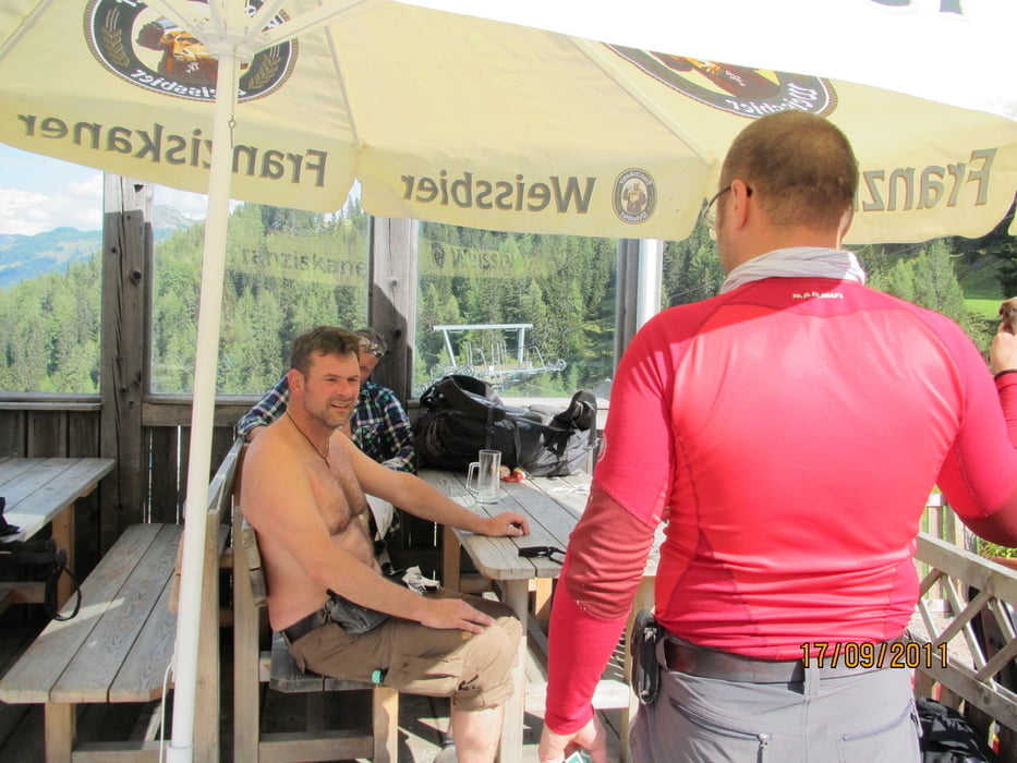
Nach dem Katerfrüstück in der Mandlhütte geht es runter ins Tal nach Großarl-City.
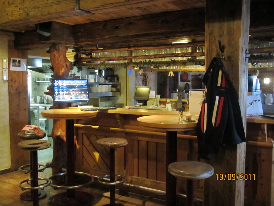
In der Alten Post gibt es dann eine kurze Rast und im Billa Leberkäsbrötchen gekauft. Dann hoch ins Skigebiet in Richtung Gehwolfalm. Nette Tour, nicht so schön wie die letzten Tage, aber ok. Der HAmmer aber ist die Gehwolfalm. Nach großem Umbau ist dies nun wirklich eine Super-Wellnesshütte. Nette Bedienungen, Saunabereich, tolles Essen (abends noch eine Party mit Bikern aus Mühldorf), tolle Zimmer und alles für €39,00 HP.
So, normalerweise müsste diese Tour mit Tag 4+5 weitergehen. Da aber Tag 4 Wetter nicht so gut war und wir müde waren, sowie alles weh tat, sind wir am Tag 4 durchs Skigebiet gelaufen (Lareiteralm + Fulseck). Abends wieder Sauna, ....
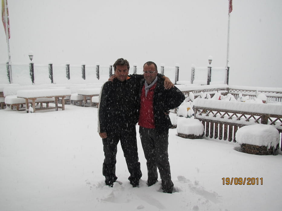
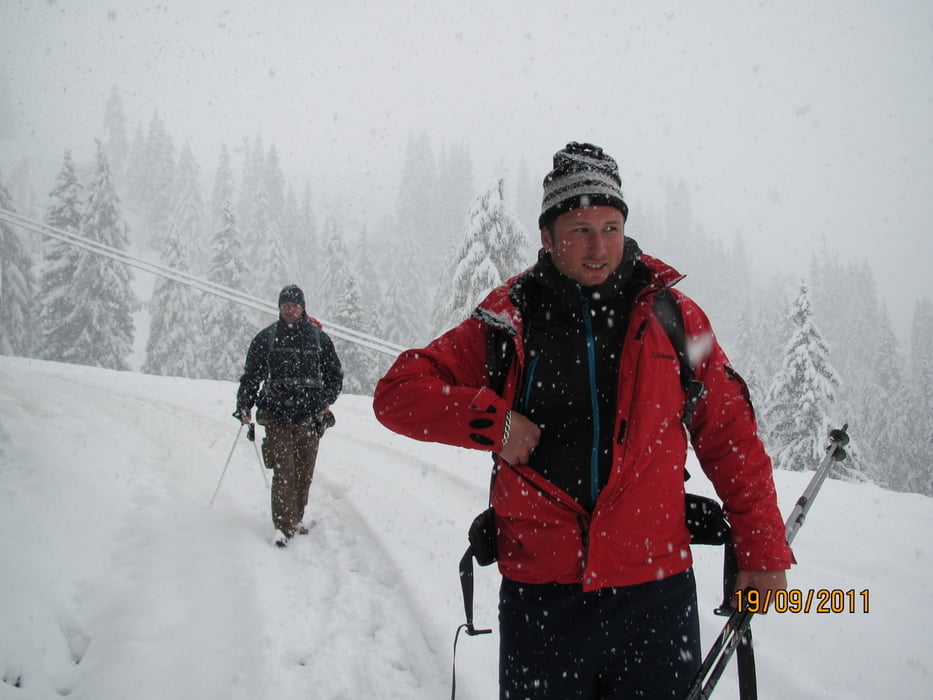
Am Tag 5 dann 40cm Neuschnee, Wahnsinn. Abstieg im Schneetreiben. Hatten noch Probleme unseren Wagen frei zukriegen.
Further information at
http://www.grossarltal.info/s_home.htmlTour gallery
Tour map and elevation profile
Minimum height 885 m
Maximum height 1681 m
More about the tour author
|
|
Lippo |
Comments
Anschluß an Tour 90137 `nkt-Tour Großarl Tag 2`
GPS tracks
Trackpoints-
GPX / Garmin Map Source (gpx) download
-
TCX / Garmin Training Center® (tcx) download
-
CRS / Garmin Training Center® (crs) download
-
Google Earth (kml) download
-
G7ToWin (g7t) download
-
TTQV (trk) download
-
Overlay (ovl) download
-
Fugawi (txt) download
-
Kompass (DAV) Track (tk) download
-
Track data sheet (pdf) download
-
Original file of the author (gpx) download
More about the tour author
|
|
Lippo |
Add to my favorites
Remove from my favorites
Edit tags
Open track
My score
Rate
letzter winter