Tag 2 der Rundfahrt.
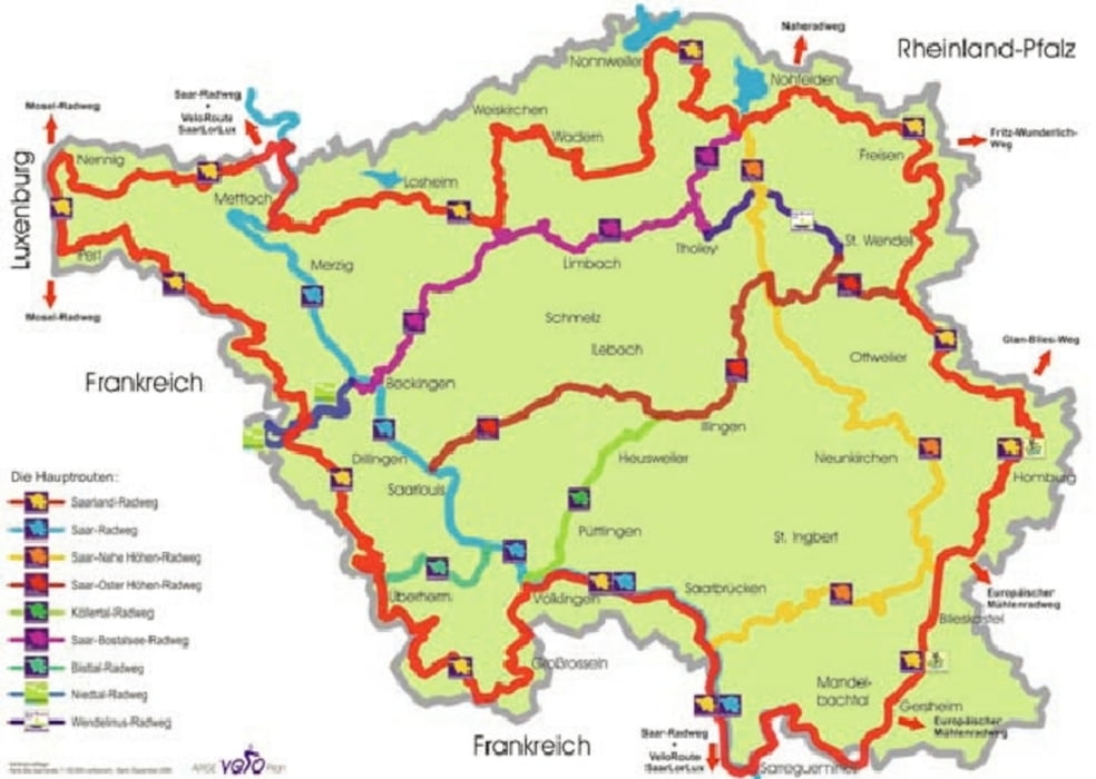
Von Taben Rodt geht es nach Remich, dann Richtung Perl. An der Grenze entlang fährt man Richtung Saarbrücken.
Strecke ist ohne den Warndt Wald bei Völklingen. Wir mussten in der Nähe von Saarlouis die Strecke verkürzen
Zielort Saarbrücken
Tour map and elevation profile
Minimum height 143 m
Maximum height 433 m
Comments

GPS tracks
Trackpoints-
GPX / Garmin Map Source (gpx) download
-
TCX / Garmin Training Center® (tcx) download
-
CRS / Garmin Training Center® (crs) download
-
Google Earth (kml) download
-
G7ToWin (g7t) download
-
TTQV (trk) download
-
Overlay (ovl) download
-
Fugawi (txt) download
-
Kompass (DAV) Track (tk) download
-
Track data sheet (pdf) download
-
Original file of the author (gpx) download
Add to my favorites
Remove from my favorites
Edit tags
Open track
My score
Rate

