


Vom Bahnhof Landau a.d. Isar geht es flußabwärts bis Plattling, dann über das flache Land auf Nebenstraßen über Moos nach Osterhofen und mehr oder weniger den Donauradweg weiter bis zum sehenswerten Vilshofen (dort Bhf). Die Tour ist praktisch eben.
An der Isar fährt man auf feinen Schotterwegen mit einigen Asphaltabschnitten, ab Plattling auf Nebenstraßen und an der Donau gemischt.
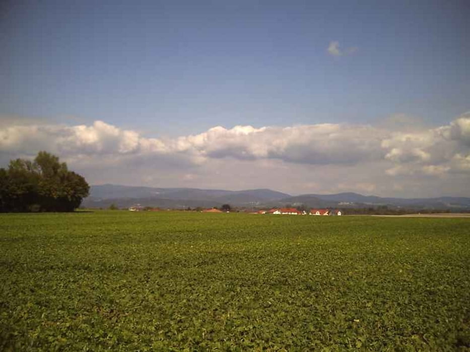
Der Isar entlang geht es durch einen schönen Auenwald, ab Plattling bis Vilshofen gibt es sehr schöne Blicke auf den Bayerischen Wald. Es ist eine ruhige Landschaft und unter der Woche ist mit wenig Verkehr zu rechnen.
Die Züge fahren z.Z. (2011) jede Stunde von und nach München (Strecke München-Landshut- Plattling-Passau).
Tour gallery

Tour map and elevation profile
Minimum height 293 m
Maximum height 365 m
More about the tour author

|
freisnger |
Comments

GPS tracks
Trackpoints-
GPX / Garmin Map Source (gpx) download
-
TCX / Garmin Training Center® (tcx) download
-
CRS / Garmin Training Center® (crs) download
-
Google Earth (kml) download
-
G7ToWin (g7t) download
-
TTQV (trk) download
-
Overlay (ovl) download
-
Fugawi (txt) download
-
Kompass (DAV) Track (tk) download
-
Track data sheet (pdf) download
-
Original file of the author (gpx) download
More about the tour author
|
|
freisnger |
Add to my favorites
Remove from my favorites
Edit tags
Open track
My score
Rate