


Vom Frankfurter Nordend auf Straßen und asphaltierten Wegen (teilweise neben der U-Bahnlinie U3) bis zur Endhaltestelle Hohemark.
Links von der Hauptverkehrsstraße über die Emminghaushütte zum Altkönig.
Wieder runter zum Pflasterweg in Richtung Fuchstanz, aber kurz vorher rechts einen steilen Weg runter!
Dann hoch über Fuchstanz, Fuchstanzweg und Grüner Weg zum Kleinen Feldberg.
Dann zum Windeck und hoch zum Großen Feldberg.
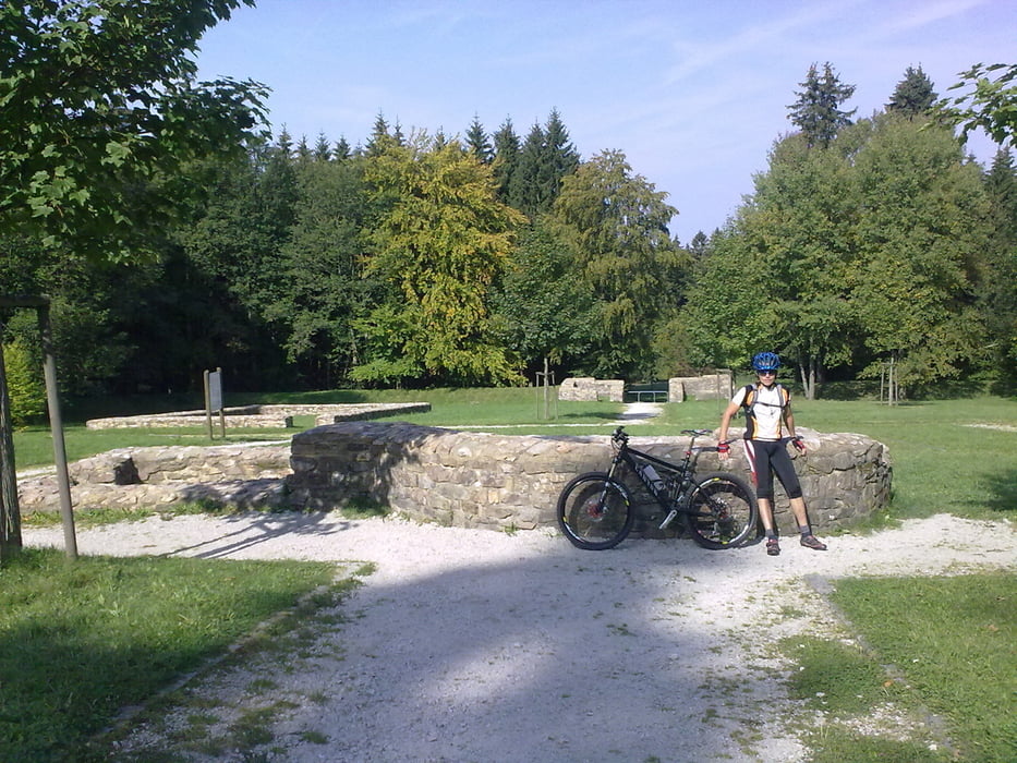
Wieder hinunter über die Weilquelle und ein kleines Römerkastell zum Roten Kreuz und weiter fast bis Falkenstein.
Nochmal hoch bis zum Fuchstanz (diesmal mit kleiner Pause).
Nach einer kleinen Stärkung den Pflasterweg zum Altkönig, den aber nur "angeschnitten", runter zum Schwarzen Weg, dann über Bürgel-Platte am Viktoria-Tempel vorbei fast bis zum Waldschwimmbad, vorher links in Richtung Hohemark.
Nur noch ein kurzer Abstecher zum Hünerberg und
zurück am neuen Taunus-Touristik-Zentrum vorbei zur Haltestelle Hohemark und fast auf dem gleichen Weg wieder nach Frankfurt.
Links von der Hauptverkehrsstraße über die Emminghaushütte zum Altkönig.
Wieder runter zum Pflasterweg in Richtung Fuchstanz, aber kurz vorher rechts einen steilen Weg runter!
Dann hoch über Fuchstanz, Fuchstanzweg und Grüner Weg zum Kleinen Feldberg.
Dann zum Windeck und hoch zum Großen Feldberg.
Wieder hinunter über die Weilquelle und ein kleines Römerkastell zum Roten Kreuz und weiter fast bis Falkenstein.
Nochmal hoch bis zum Fuchstanz (diesmal mit kleiner Pause).
Nach einer kleinen Stärkung den Pflasterweg zum Altkönig, den aber nur "angeschnitten", runter zum Schwarzen Weg, dann über Bürgel-Platte am Viktoria-Tempel vorbei fast bis zum Waldschwimmbad, vorher links in Richtung Hohemark.
Nur noch ein kurzer Abstecher zum Hünerberg und
zurück am neuen Taunus-Touristik-Zentrum vorbei zur Haltestelle Hohemark und fast auf dem gleichen Weg wieder nach Frankfurt.
Tour gallery
Tour map and elevation profile
Minimum height 101 m
Maximum height 888 m
More about the tour author
|
|
Christoph1963 |
Comments

Mit dem Auto A661 Abfahrt Oberursel/Hohemark oder mit der U-Bahn U3 von Frankfurt kommend bis Endhaltestelle Hohemark.
GPS tracks
Trackpoints-
GPX / Garmin Map Source (gpx) download
-
TCX / Garmin Training Center® (tcx) download
-
CRS / Garmin Training Center® (crs) download
-
Google Earth (kml) download
-
G7ToWin (g7t) download
-
TTQV (trk) download
-
Overlay (ovl) download
-
Fugawi (txt) download
-
Kompass (DAV) Track (tk) download
-
Track data sheet (pdf) download
-
Original file of the author (gpx) download
More about the tour author
|
|
Christoph1963 |
Add to my favorites
Remove from my favorites
Edit tags
Open track
My score
Rate