


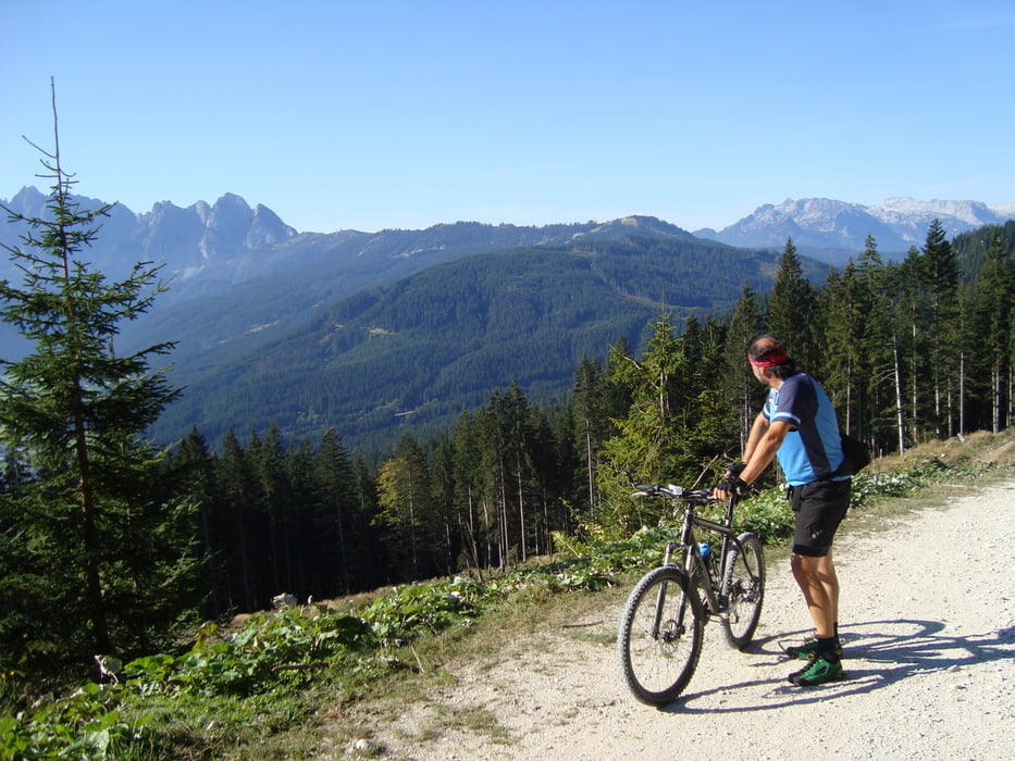
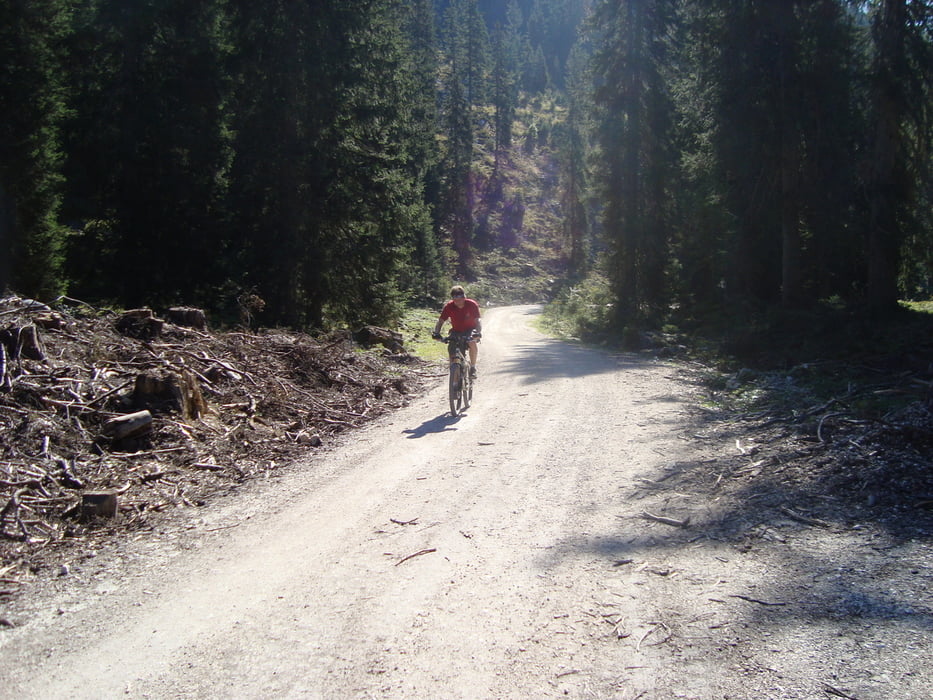
Ausgangspunkt ist Gosau Ortsteil Ramsau. Auf einer Forststraße gehts teilweise steil dann wieder flacher vorbei an der Iglmoosalm weiter zur Schartenalm. Hier die Räder absperren und zu Fuß vorbei an der Goisererhütte zum Gipfelkreuz des Hochkalmbergs (1833m). Einkehrmöglichkeit Goisererhütte.
ca.1h15min. Auffahrt mit dem Rad, dann ca.30min. zu Fuß auf den Gipfel.
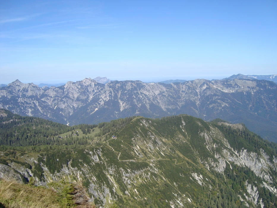
Sehr schöner Panoramaberg mit Rundumblick sehr empfehlenswert !
mehr Bilder: seppdepp.heim.at
Tour gallery

Tour map and elevation profile
Minimum height 802 m
Maximum height 1832 m
More about the tour author
|
|
Atzbach |
Comments

GPS tracks
Trackpoints-
GPX / Garmin Map Source (gpx) download
-
TCX / Garmin Training Center® (tcx) download
-
CRS / Garmin Training Center® (crs) download
-
Google Earth (kml) download
-
G7ToWin (g7t) download
-
TTQV (trk) download
-
Overlay (ovl) download
-
Fugawi (txt) download
-
Kompass (DAV) Track (tk) download
-
Track data sheet (pdf) download
-
Original file of the author (gpx) download
More about the tour author
|
|
Atzbach |
Add to my favorites
Remove from my favorites
Edit tags
Open track
My score
Rate