


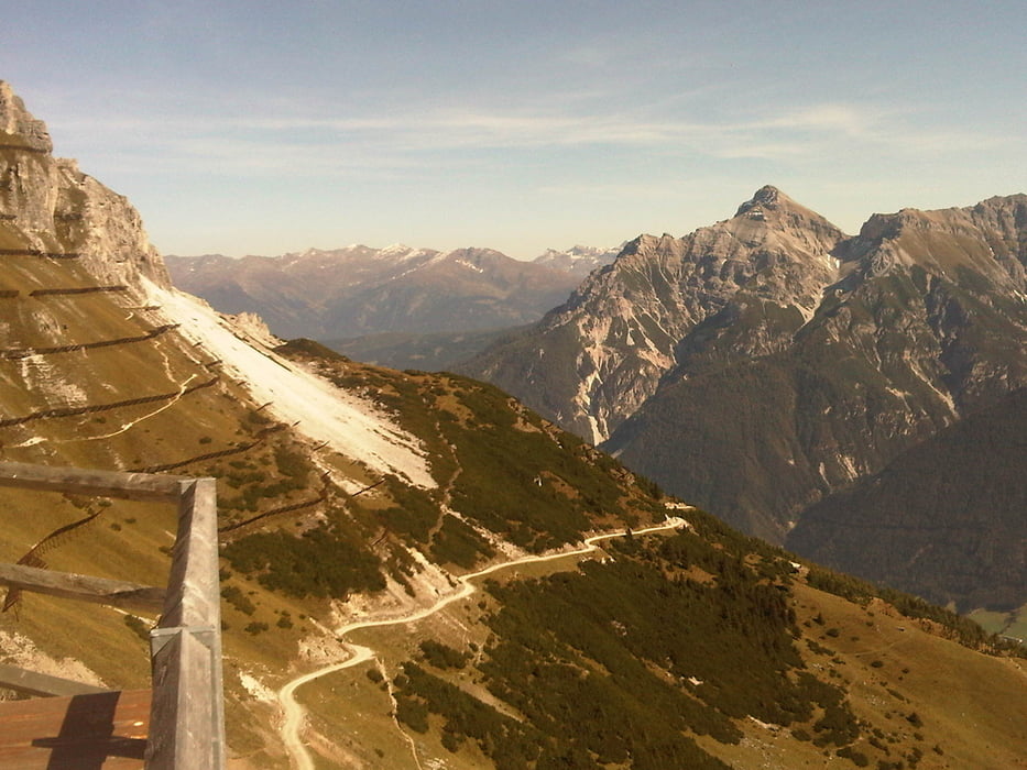
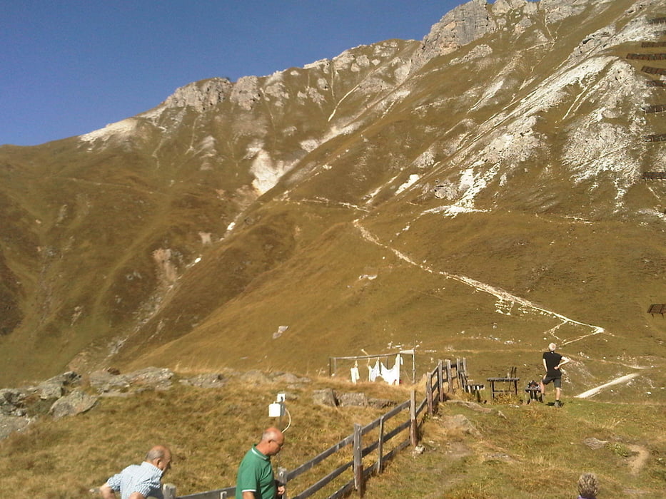
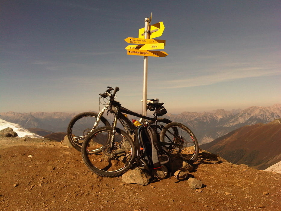
Von Innsbruck aus (Bahnhof) über Wilten, Kreith über die Telfer Wiesen nach Plöven (1020). Hier rechts halten und den Schlicker-Bach entlang zum Gasthof Fronebner (1306) - ca. 10 Minuten Schiebestrecke, weil recht steil. Den Fahrweg weiter bis zur Galtalm (1634) und weiter zur Starkenburger Hütte (2237). Jetzt folgt eine (großteils) Schiebestrecke auf das Seejöchl (2518) - traumhafte Aussicht - und wieder - zumindest im oberen Teil eine Schiebestrecke - Richtung Adolf Pichler - Hütte (sehr guter Kaiserschmarrn. Geschlossen ab 02.10.2011). Weiter geht's zur Kemater Alm und von dort über Axams, Völs nach Innsbruck.
Tour gallery

Tour map and elevation profile
Minimum height 440 m
Maximum height 2362 m
More about the tour author

|
tonfreund |
Comments

GPS tracks
Trackpoints-
GPX / Garmin Map Source (gpx) download
-
TCX / Garmin Training Center® (tcx) download
-
CRS / Garmin Training Center® (crs) download
-
Google Earth (kml) download
-
G7ToWin (g7t) download
-
TTQV (trk) download
-
Overlay (ovl) download
-
Fugawi (txt) download
-
Kompass (DAV) Track (tk) download
-
Track data sheet (pdf) download
-
Original file of the author (gpx) download
More about the tour author
|
|
tonfreund |
Add to my favorites
Remove from my favorites
Edit tags
Open track
My score
Rate