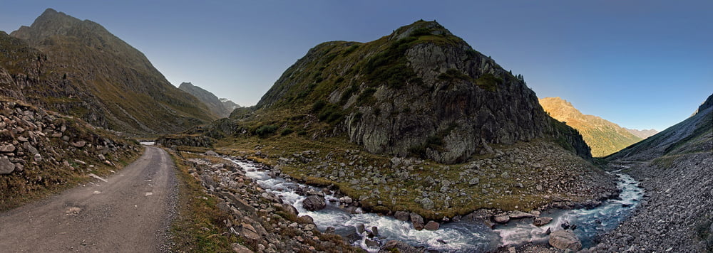
Von Winnebach mit dem Bike einen Km hinter die Ambergerhütte, weiter zu Fuß und die letzten Meter mit Steigeisen über den kleinen Gletscher http://www.alpen-panoramen.de/panorama.php?pid=16681 und leichtes kraxeln auf den Gipfel.
Gerade sehe ich das der logger nicht abgeschaltet war, die Tour beginnt und endet ab Winnebach.
Tour gallery
Tour map and elevation profile
Minimum height 684 m
Maximum height 3244 m
Comments

Am Ende von Winnebach ist ein Parkplatz
GPS tracks
Trackpoints-
GPX / Garmin Map Source (gpx) download
-
TCX / Garmin Training Center® (tcx) download
-
CRS / Garmin Training Center® (crs) download
-
Google Earth (kml) download
-
G7ToWin (g7t) download
-
TTQV (trk) download
-
Overlay (ovl) download
-
Fugawi (txt) download
-
Kompass (DAV) Track (tk) download
-
Track data sheet (pdf) download
-
Original file of the author (gpx) download
Add to my favorites
Remove from my favorites
Edit tags
Open track
My score
Rate


