


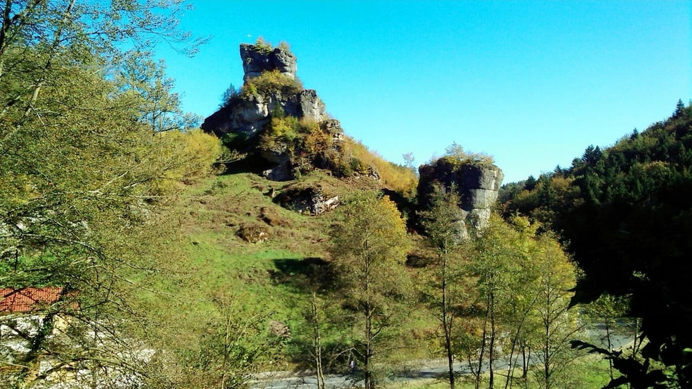
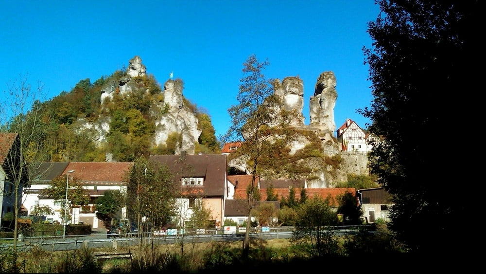
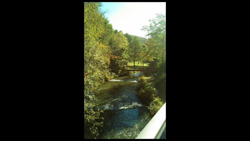
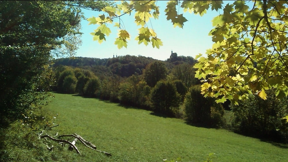
Eine sehr gemütliche Wanderung von Behringersmühle an der Püttlach entlang an Wiesen- und Waldrand nach Tüchersfeld. Von dort aus ein Stück des Weges zurück, im Wald an leichter Steigung bei Abzweigung gerdeaus nach Gößweinstein. Im Ort vor Kreuzung rechts ab.
Auf Wiesenweg dahin, nicht zum "Sieghartsfels": wir halten uns links, es geht noch etwas aufwärts und bald abwärts ins Püttlachtal. Auf Fußweg neben der Straße in den Ort, nach rechts über Brücke und nochmals rechts zum Parkplatz.
Tour gallery

Tour map and elevation profile
Minimum height 326 m
Maximum height 465 m
More about the tour author
|
|
heinz-57 |
Comments

Google Earth: 49.782444° / 11.334447°
Auf der B470 von Forchheim, Ebermannstadt kommend nach Behringersmühle. Links ab Richtung Hollfeld. Kurz danach rechts Wanderparkplatz
GPS tracks
Trackpoints-
GPX / Garmin Map Source (gpx) download
-
TCX / Garmin Training Center® (tcx) download
-
CRS / Garmin Training Center® (crs) download
-
Google Earth (kml) download
-
G7ToWin (g7t) download
-
TTQV (trk) download
-
Overlay (ovl) download
-
Fugawi (txt) download
-
Kompass (DAV) Track (tk) download
-
Track data sheet (pdf) download
-
Original file of the author (gpx) download
More about the tour author
|
|
heinz-57 |
Add to my favorites
Remove from my favorites
Edit tags
Open track
My score
Rate