Stromberg Tour für Mountain oder Trekingbike
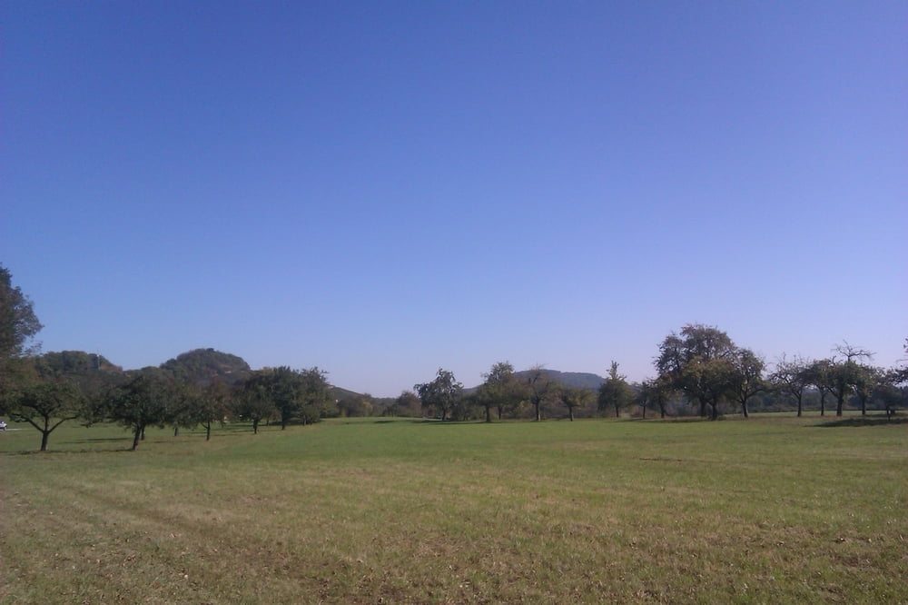
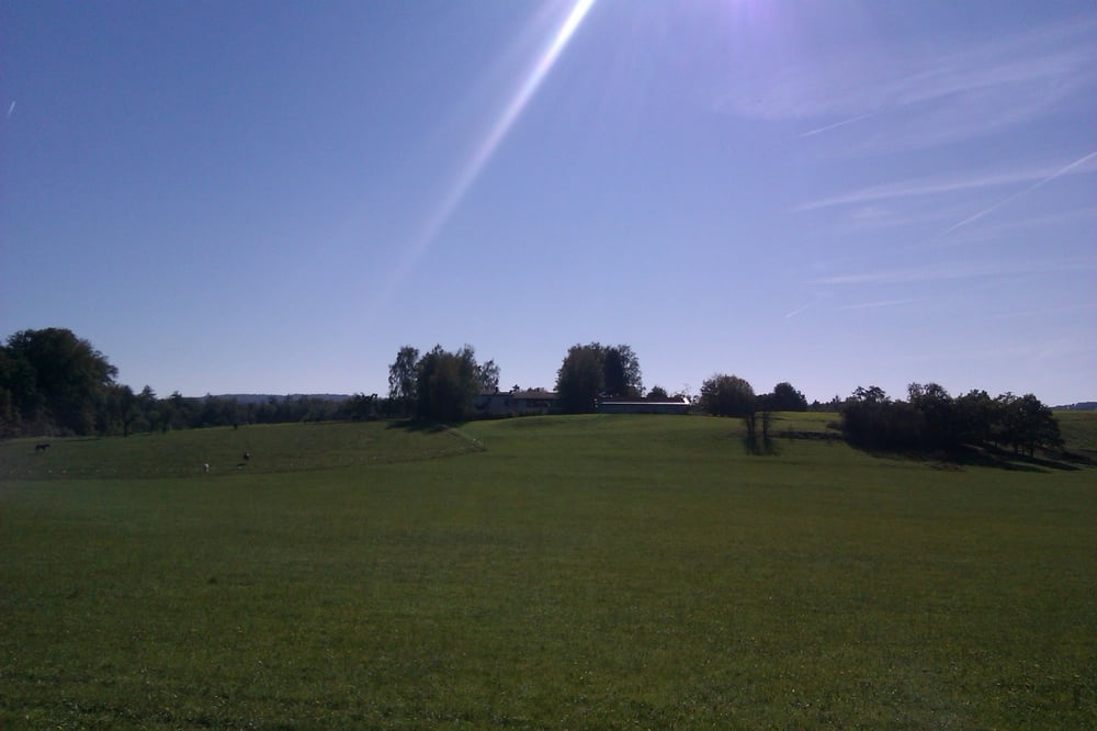
Die Tour führt großteils auf Wald und Feldwegen durch den Stromberg,
von Ensingen kommend über die Illinger Seen nach Lienzingen und weiter über
Diefenbach Richtung Füllmenbacher hof.
Viel Spass beim nachfahren.
Tour gallery
Tour map and elevation profile
Minimum height 126 m
Maximum height 351 m
Comments

GPS tracks
Trackpoints-
GPX / Garmin Map Source (gpx) download
-
TCX / Garmin Training Center® (tcx) download
-
CRS / Garmin Training Center® (crs) download
-
Google Earth (kml) download
-
G7ToWin (g7t) download
-
TTQV (trk) download
-
Overlay (ovl) download
-
Fugawi (txt) download
-
Kompass (DAV) Track (tk) download
-
Track data sheet (pdf) download
-
Original file of the author (gpx) download
Add to my favorites
Remove from my favorites
Edit tags
Open track
My score
Rate


