


Von Costa Calma geht es an der Ostküste über La Lajita bis nach Tarajalejo.
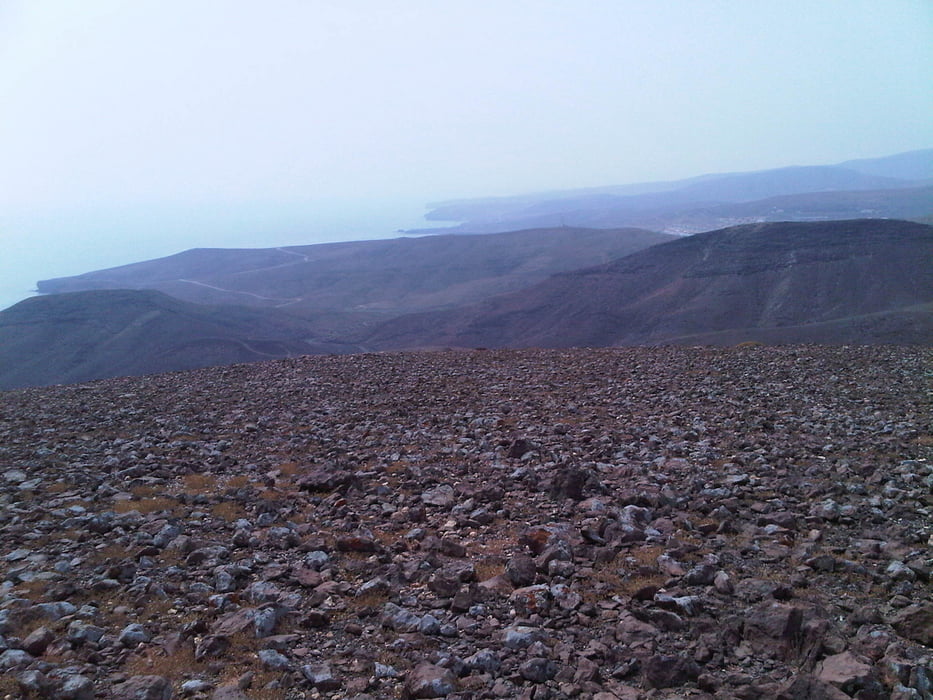
Die Tour nimmt möglichst viele Küstenmeter mit und erfolgt fast ausschließlich auf Pisten und Trails. Wer es steinig mag, dem wird es hier gefallen. Die Wege an der Küste gehen ständg auf und ab, sind aber durchgängig fahrbar. An manchen Durchquerungen von Barrancos muss vielleicht mal jemand absteigen. Die zwei Abfahrten bei Lajita (in der Nähe der Kamelpiste...die riecht man) sind zwar kurz aber durch grobe Steine nicht ganz ohne.
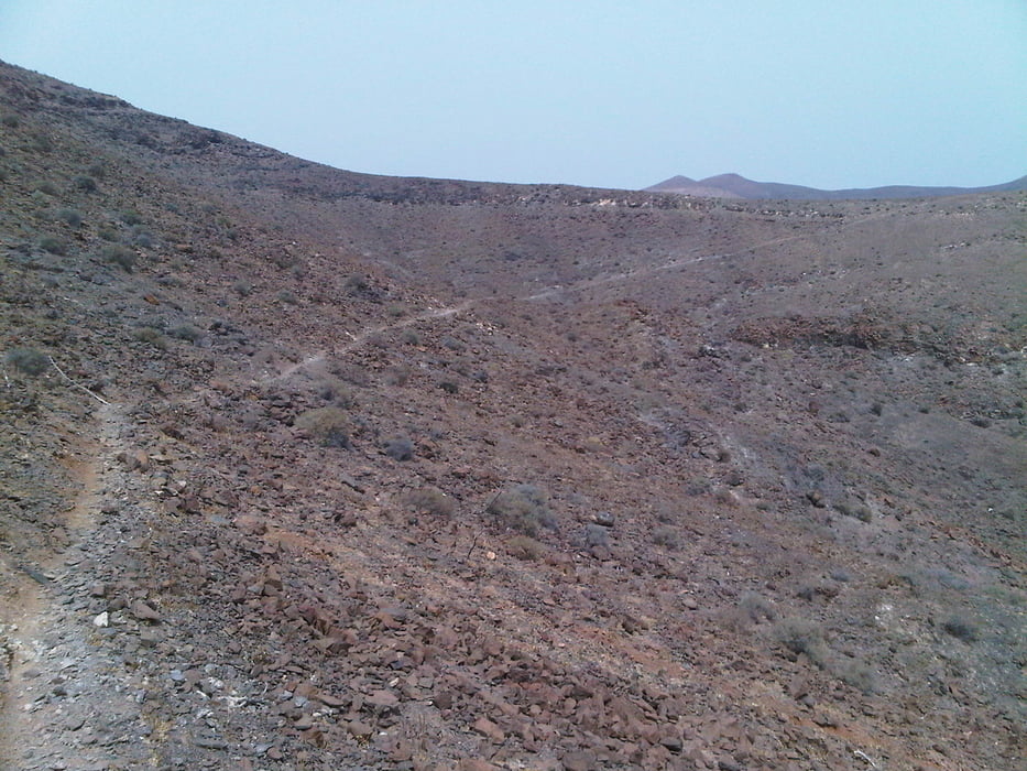
Am Ortsrand von Tarajalejo geht es steil auf eine Sendemaststation hoch. Von dem nachfolgenden Hügel aus hat man einen schönen Blick in das Barranco de Marquina Yosa, in das die Tour weitergeht. Der Wendepunkt der Tour ist nur noch über Ziegenpfade (1) zu erreichen. Wer nicht sicher auf schmalen steinigen Pfaden unterwegs ist, sollte nach dem Sendemast gleich den Rückweg antreten.
Tour gallery
Tour map and elevation profile
Minimum height 10 m
Maximum height 209 m
More about the tour author

|
candido |
Comments

Tourstart ist in Costa Calma.
Sowohl von Norden als auch von Süden über die FV-2 zu erreichen.
GPS tracks
Trackpoints-
GPX / Garmin Map Source (gpx) download
-
TCX / Garmin Training Center® (tcx) download
-
CRS / Garmin Training Center® (crs) download
-
Google Earth (kml) download
-
G7ToWin (g7t) download
-
TTQV (trk) download
-
Overlay (ovl) download
-
Fugawi (txt) download
-
Kompass (DAV) Track (tk) download
-
Track data sheet (pdf) download
-
Original file of the author (gpx) download
More about the tour author
|
|
candido |
Add to my favorites
Remove from my favorites
Edit tags
Open track
My score
Rate