Login

Forgotten password?

Cookies have to be accepted!
Your browser's cookie functionality is disabled. Please enable this functionality.

Not a member yet?

Register now
Login

Available for registred users only

Log in to use this feature.

Forgotten password?

Cookies have to be accepted!
Your browser's cookie functionality is disabled. Please enable this functionality.

Not a member yet?

Register now
Filter
Categories
Advanced filters
  • Distance (km)
  • Height
Save filters Reset filter

TrackRank

QRCode

Technical data

Distance95,8 km Height1057 m Way down1066 m Duration03:50 h:m Date17.10.2011
Scores Author Landscape Fun factor Fitness Technique

Statistics

1073 Views Scores 113 Downloads Average
Rate
  • Track data sheet
  • Directions
  • Downloads
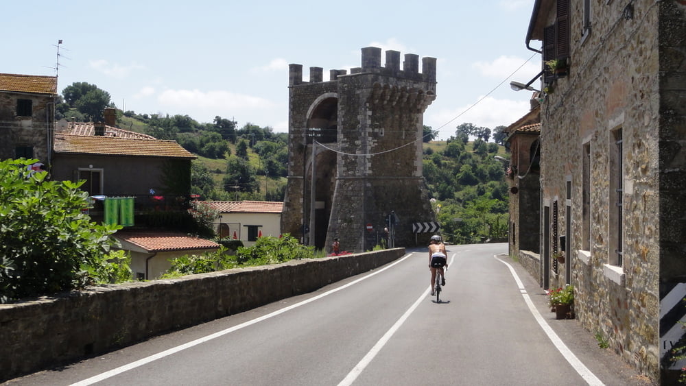
Itinerario molto piacevole, su strade poco battute dalle auto e immerse nella Maremma Toscana.
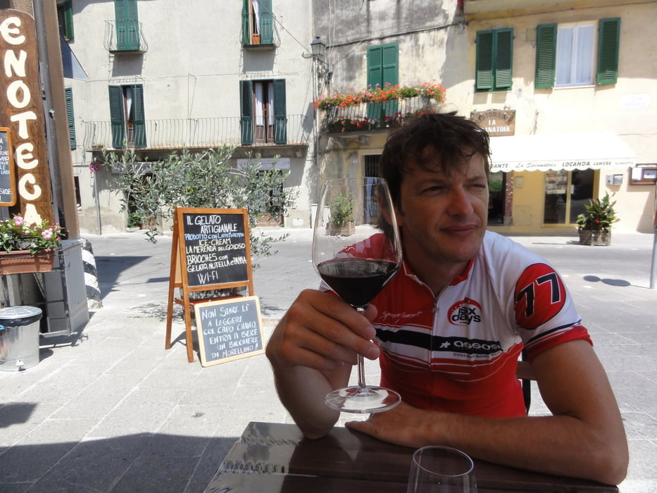
Tour gallery

Tour map and elevation profile

  • Open Street Map
  • Google
Minimum height 6 m Maximum height 553 m Detailed view

More about the tour author

scaluc
Member since 2011

Send private message

Comments

GPS tracks

Trackpoints
  • GPX / Garmin Map Source (gpx) download
  • TCX / Garmin Training Center® (tcx) download
  • CRS / Garmin Training Center® (crs) download
  • Google Earth (kml) download
  • G7ToWin (g7t) download
  • TTQV (trk) download
  • Overlay (ovl) download
  • Fugawi (txt) download
  • Kompass (DAV) Track (tk) download
  • Track data sheet (pdf) download
  • Original file of the author (gpx) download

More about the tour author

scaluc
Member since 2011

Send private message
Share track
Add to my favorites
Remove from my favorites
Edit tags
My score
Rate
Track: Talamone Montiano Istia Scansano Magliano
Type: Road biking
Distance: 95,8 km
Evaluated on:
Duration:
Day(s)
Hour(s)
Minute(s)
Score: Landscape Fun factor Fitness Technique