


Bericht Wanderung
Ziegelwies - Alpenrosenweg - Alpsee - Fürstenweg - Schluxen - Kratzer - Ziegelwies
Wir starten am Lechfall in/bei Ziegelwies und laufen zum Anschluss Alpenrosenweg. Es geht in Richtung Alpsee.
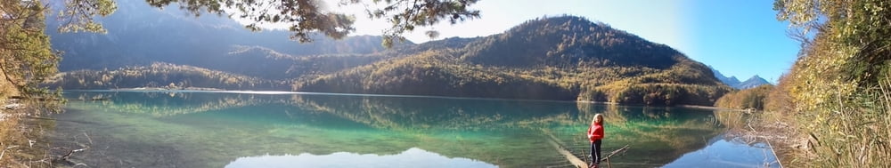
Kurz vorher biegen wir links ab, weil wir einen tollen Blick auf Schloss Hohenschwangau genießen wollen.
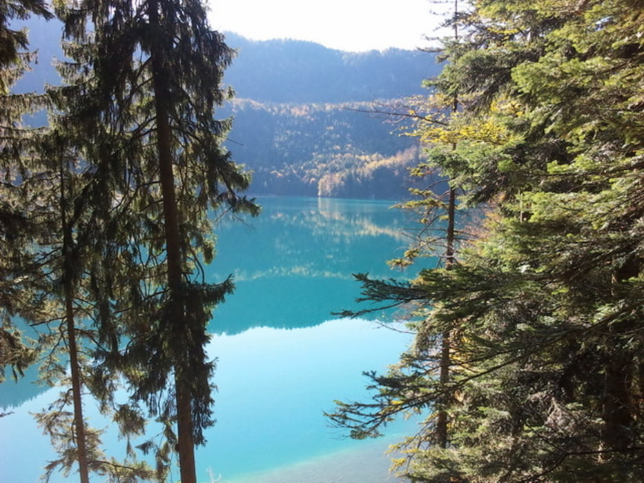
Am Alpsee ein kleiner Abstecher zum Pindarplatz. Auf dem Alpsee-Rundweg laufen wir zum Marienmonument und weiter auf der Fürstenstraße zum Schwangauer Gatter und Schluxen.
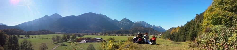
Im "Gasthof zum Schluxen" nehmen wir eine herrliche Brotzeit (sehr empfehlenswert). Weiter geht auf dem Kratzerweg über Weißhaus zurück nach Zieglwies.
Ein Abstecher zum Auwaldpfad (für Kinder) oder Walderlebniszentrum ist zu empfehlen.
Fazit:
- gut zu gehende Familienrunde
Tour gallery
Tour map and elevation profile
Minimum height 800 m
Maximum height 903 m
More about the tour author
|
|
Stummi |
Comments

GPS tracks
Trackpoints-
GPX / Garmin Map Source (gpx) download
-
TCX / Garmin Training Center® (tcx) download
-
CRS / Garmin Training Center® (crs) download
-
Google Earth (kml) download
-
G7ToWin (g7t) download
-
TTQV (trk) download
-
Overlay (ovl) download
-
Fugawi (txt) download
-
Kompass (DAV) Track (tk) download
-
Track data sheet (pdf) download
-
Original file of the author (gpx) download
More about the tour author
|
|
Stummi |
Add to my favorites
Remove from my favorites
Edit tags
Open track
My score
Rate