Gemütliche Rundtour
Start in Bad Ischl Bahnhof
Rettenbachtal - Auffahrt zur Hütteneckalm = höchster Punkt - Einkehr
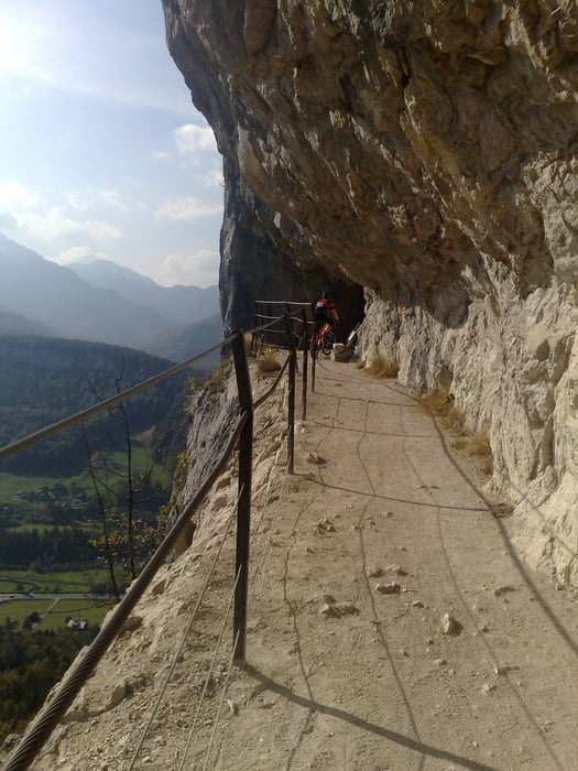
Abfahrt über Forststraße und Trail durch die "Ewige Wand"
Am Radweg zurück nach Bad Ischl - Tourausklang zu Klaviertönen
im Garten des Cafe Zauner.
Tour gallery
Tour map and elevation profile
Minimum height 438 m
Maximum height 1243 m
Comments
GPS tracks
Trackpoints-
GPX / Garmin Map Source (gpx) download
-
TCX / Garmin Training Center® (tcx) download
-
CRS / Garmin Training Center® (crs) download
-
Google Earth (kml) download
-
G7ToWin (g7t) download
-
TTQV (trk) download
-
Overlay (ovl) download
-
Fugawi (txt) download
-
Kompass (DAV) Track (tk) download
-
Track data sheet (pdf) download
-
Original file of the author (gpx) download
Add to my favorites
Remove from my favorites
Edit tags
Open track
My score
Rate


Sonntagsausflug
Echt empfehlenswert !!!!!
Schöne Runde
Danke für die Tour