


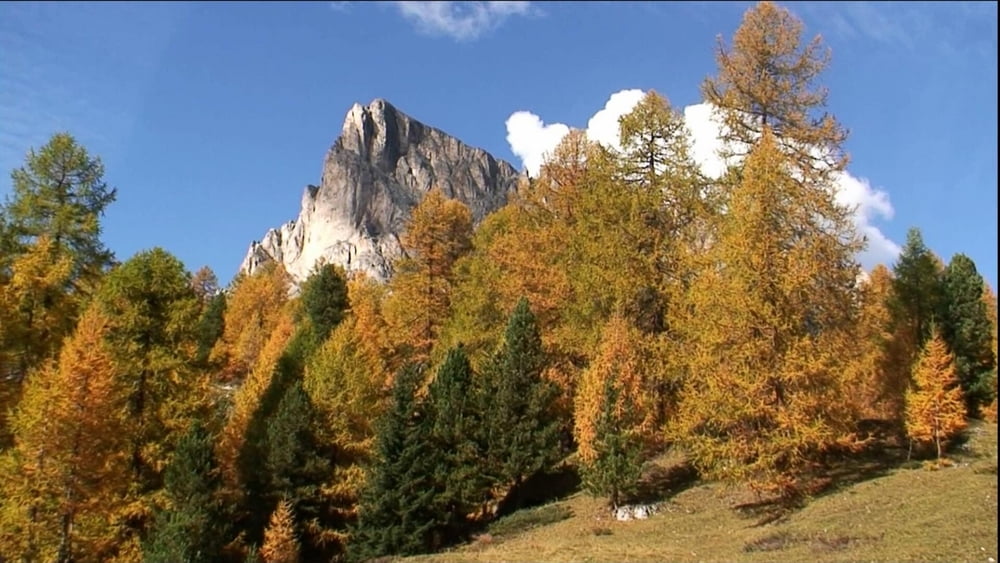
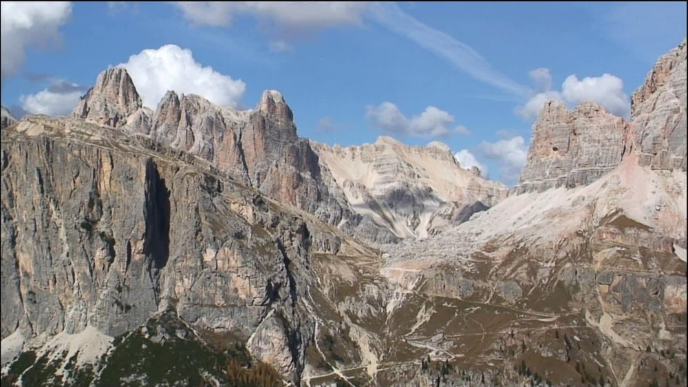
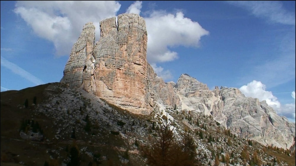
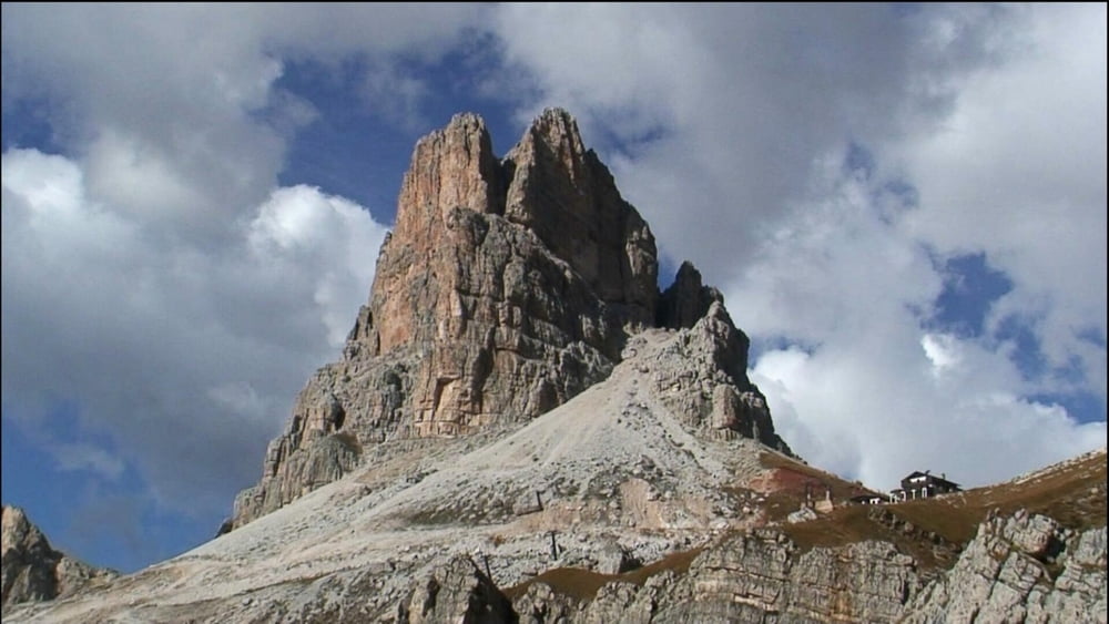
Vom Parkplatz an der Passhöhe auf Gebirgsweg ständig etwas auf und ab, dann geht es steiler bergab und ebenso bergan. Rechts liegt das Massiv der "Muraglia". Bald sehen wir die imposanten "Cinque Torri", rechts abwärts liegt die "Cinque Torri- Hütte". Wir sind auch schon am Umkehrpunkt: es geht links ab zur "Scoiattoli- Hütte" und nach links weiter unterhalb des "Monte Averau", z.T. über Schotter, zur "Averau- Hütte". Unterhalb dieser im Linksbogen weiter, an Abzweigung links haltend zur Passhöhe zurück.
Tour gallery

Tour map and elevation profile
Minimum height 2129 m
Maximum height 2419 m
More about the tour author
|
|
heinz-57 |
Comments

Google Earth: N 46.482458° / E 12.053697°
Von Cortina d'Ampezzo fährt man auf der SR48, hinter Pocol auf der SP 638 zur Passöhe des "Passo Giau".
GPS tracks
Trackpoints-
GPX / Garmin Map Source (gpx) download
-
TCX / Garmin Training Center® (tcx) download
-
CRS / Garmin Training Center® (crs) download
-
Google Earth (kml) download
-
G7ToWin (g7t) download
-
TTQV (trk) download
-
Overlay (ovl) download
-
Fugawi (txt) download
-
Kompass (DAV) Track (tk) download
-
Track data sheet (pdf) download
-
Original file of the author (gpx) download
More about the tour author
|
|
heinz-57 |
Add to my favorites
Remove from my favorites
Edit tags
Open track
My score
Rate