


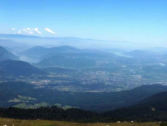
Start in Bad Bleiberg (915 m) über die Bundesstrasse in Richtung Villach bis zum Ort Heiligengeist; gleich nach der Kirche biege ich in der Kurve rechts ab und trete nun auf Forststrassen durch den Wald, bis ich auf ca. 1400 m die asphaltierte Villacher Alpenstrasse erreiche. Nun geht es angenehmer weiter vorbei der Aichingerhütte und erreiche auf 1733 m den Gasthof Rosstratte. Für "Rad-Extremisten" geht ein sehr grober und steiler Weg weiter bis zum Gipfel des Dobratsch (2159 m). Ich parke mein Rad unter einem Baum und erreiche den Gipfel nach einem einstündigen Fussmarsch; als Lohn für die Mühen erhalte ich einen herrlichen Rundblick und eine Stärkung im Ludwig-Walter-Haus.
Tour gallery
Tour map and elevation profile
Minimum height 892 m
Maximum height 2177 m
More about the tour author

|
Gerhard |
Comments

Anreise nach Bad Bleiberg über Klagenfurt - Villach oder aus dem Gailtal bei Nötsch abzweigend
GPS tracks
Trackpoints-
GPX / Garmin Map Source (gpx) download
-
TCX / Garmin Training Center® (tcx) download
-
CRS / Garmin Training Center® (crs) download
-
Google Earth (kml) download
-
G7ToWin (g7t) download
-
TTQV (trk) download
-
Overlay (ovl) download
-
Fugawi (txt) download
-
Kompass (DAV) Track (tk) download
-
Track data sheet (pdf) download
-
Original file of the author (g7t) download
More about the tour author
|
|
Gerhard |
Add to my favorites
Remove from my favorites
Edit tags
Open track
My score
Rate