Login

Forgotten password?

Cookies have to be accepted!
Your browser's cookie functionality is disabled. Please enable this functionality.

Not a member yet?

Register now
Login

Available for registred users only

Log in to use this feature.

Forgotten password?

Cookies have to be accepted!
Your browser's cookie functionality is disabled. Please enable this functionality.

Not a member yet?

Register now
Filter
Categories
Advanced filters
  • Distance (km)
  • Height
Save filters Reset filter

TrackRank

QRCode

Technical data

Distance7,1 km Height394 m Way down382 m Duration01:30 h:m Date01.11.2011
Scores Author Landscape Fun factor Fitness Technique

Statistics

2209 Views Scores 25 Downloads Average
Rate
  • Track data sheet
  • Directions
  • Downloads

Rundwanderung von Bühl-Neusatz aus an den Hängen entlang Richtung Lauf zum Hardstein und dem Aussichtspunkt Strassburger Kreuz mit Picknickmöglichkeit.

Kurze Wanderung, teilweise Forstwege mit Schotter, teilweise unbefestiger Waldweg oder Pfade. Die Steigung erfordert etwas Kondition.
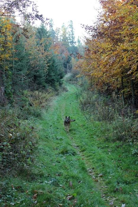
Tour gallery

Tour map and elevation profile

  • Open Street Map
  • Google
Minimum height 314 m Maximum height 712 m Detailed view

More about the tour author

RalphWF
Member since 2011

Send private message

Comments

Parken in Bühl-Neusatz im Tannenweg (am Wendehammer oder Straßenrand). Der Weg führt links am Spielplatz vorbei.

GPS tracks

Trackpoints
  • GPX / Garmin Map Source (gpx) download
  • TCX / Garmin Training Center® (tcx) download
  • CRS / Garmin Training Center® (crs) download
  • Google Earth (kml) download
  • G7ToWin (g7t) download
  • TTQV (trk) download
  • Overlay (ovl) download
  • Fugawi (txt) download
  • Kompass (DAV) Track (tk) download
  • Track data sheet (pdf) download
  • Original file of the author (gpx) download

More about the tour author

RalphWF
Member since 2011

Send private message
Share track
Add to my favorites
Remove from my favorites
Edit tags
My score
Rate
Track: Rundweg zum Hardstein und Strassburger Kreuz
Type: Hiking
Distance: 7,1 km
Evaluated on:
Duration:
Day(s)
Hour(s)
Minute(s)
Score: Landscape Fun factor Fitness Technique