


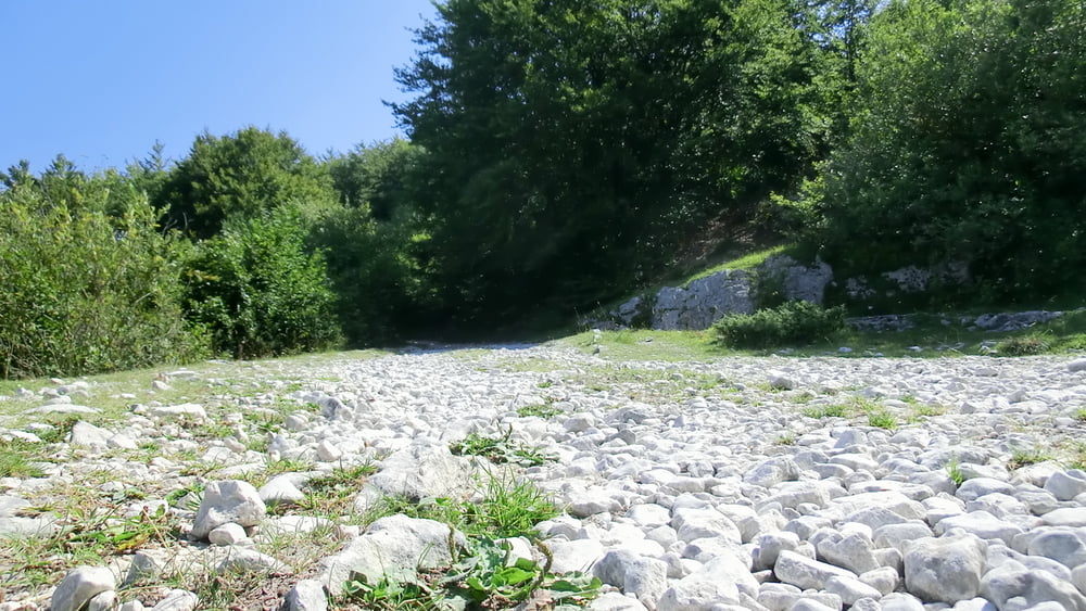
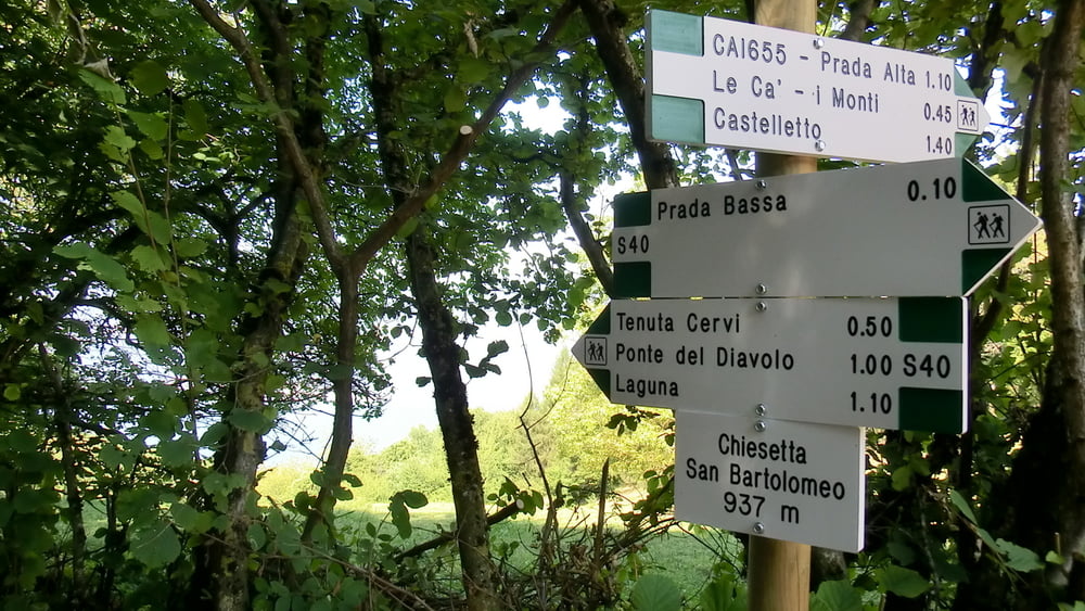
Es handelt sich hier um eine geniale Tour meistens geht es bergab trotzdem kommt man auf ca. 450 Höhenmeter bergauf. Teilweise sind die Abzweigungen schwer zuerkennen aber mit GPS kein Problem. Stellenweise sehr verblockt, Landschaftlich einfach nur super.
Man sollte für die knapp 33 km inkl. Pausen ca. 6 Stunden einplanen – ist dann relativ gemütlich.
Man sollte für die knapp 33 km inkl. Pausen ca. 6 Stunden einplanen – ist dann relativ gemütlich.
Tour gallery
Tour map and elevation profile
Minimum height 71 m
Maximum height 1788 m
More about the tour author
|
|
aussi67 |
Comments

Wir sind von Garda aus mit dem Bikebus nach Prada gefahren. Fahrzeit ca. 30min. Es besteht aber auch die Möglichkeit mit dem Bike nach Prada zu fahren sind ca. 18km und um die 1200 Höhenmeter.
Solltet Ihr euch für die Anfahrt mit dem Bus entscheiden hebt das Ticket auf , Ihr bekommt beim hochfahren mit der Gondel ( wenn man das so nennen kann ) eine Ermäßigung.
Die Tour beginnt auf ca. 1870m.
GPS tracks
Trackpoints-
GPX / Garmin Map Source (gpx) download
-
TCX / Garmin Training Center® (tcx) download
-
CRS / Garmin Training Center® (crs) download
-
Google Earth (kml) download
-
G7ToWin (g7t) download
-
TTQV (trk) download
-
Overlay (ovl) download
-
Fugawi (txt) download
-
Kompass (DAV) Track (tk) download
-
Track data sheet (pdf) download
-
Original file of the author (gpx) download
More about the tour author
|
|
aussi67 |
Add to my favorites
Remove from my favorites
Edit tags
Open track
My score
Rate