Login

Forgotten password?

Cookies have to be accepted!
Your browser's cookie functionality is disabled. Please enable this functionality.

Not a member yet?

Register now
Login

Available for registred users only

Log in to use this feature.

Forgotten password?

Cookies have to be accepted!
Your browser's cookie functionality is disabled. Please enable this functionality.

Not a member yet?

Register now
Filter
Categories
Advanced filters
  • Distance (km)
  • Height
Save filters Reset filter

TrackRank

QRCode

Technical data

Distance11,9 km Height370 m Way down373 m Duration03:00 h:m Date04.11.2011
Scores Author Landscape Fun factor Fitness Technique

Statistics

770 Views Scores 98 Downloads Average
Rate
  • Track data sheet
  • Directions
  • Downloads

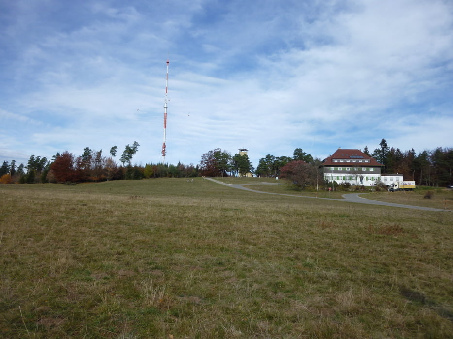
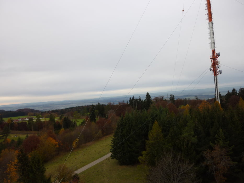
Sehr schöne Tour am Albtrauf.

Bei dieser Tour hat man immer wieder einen herrlichen Ausblick.

Gerade im Herbst ist es hier sehr schön.


Diese Wanderung gehört zu den schönsten  in Deurschland.


Further information at

http://www.traufgaenge.de/

Tour gallery

Tour map and elevation profile

  • Open Street Map
  • Google
Minimum height 807 m Maximum height 957 m Detailed view

More about the tour author

Tom19
Member since 2008

Send private message

Comments

siehe Daten.


GPS tracks

Trackpoints
  • GPX / Garmin Map Source (gpx) download
  • TCX / Garmin Training Center® (tcx) download
  • CRS / Garmin Training Center® (crs) download
  • Google Earth (kml) download
  • G7ToWin (g7t) download
  • TTQV (trk) download
  • Overlay (ovl) download
  • Fugawi (txt) download
  • Kompass (DAV) Track (tk) download
  • Track data sheet (pdf) download
  • Original file of the author (gpx) download

More about the tour author

Tom19
Member since 2008

Send private message
Share track
Add to my favorites
Remove from my favorites
Edit tags
My score
Rate
Track: Raichberg bei der Burg Hohen Zollern
Type: Hiking
Distance: 11,9 km
Evaluated on:
Duration:
Day(s)
Hour(s)
Minute(s)
Score: Landscape Fun factor Fitness Technique