
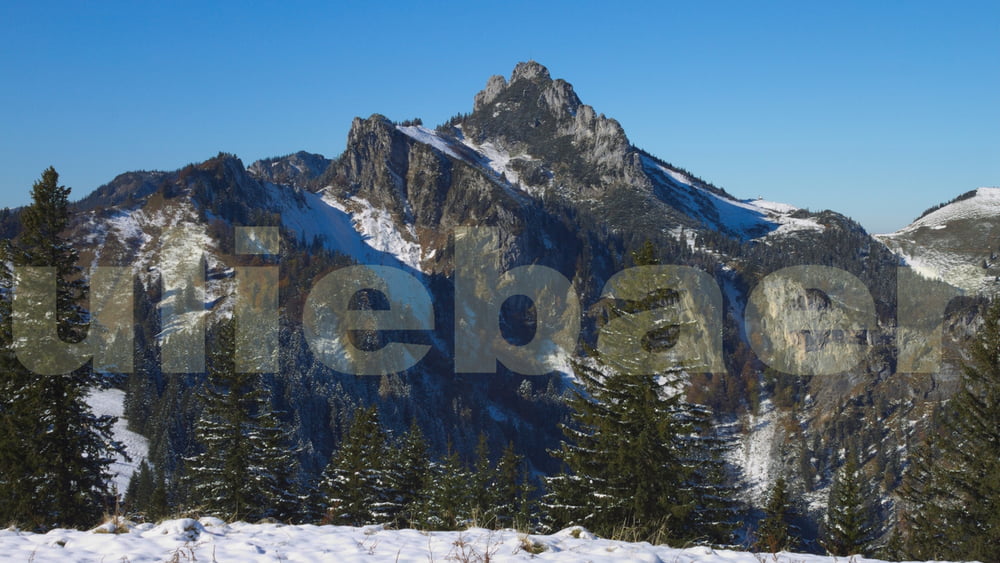

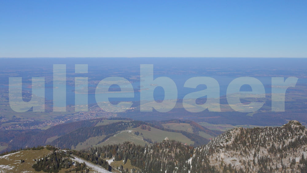
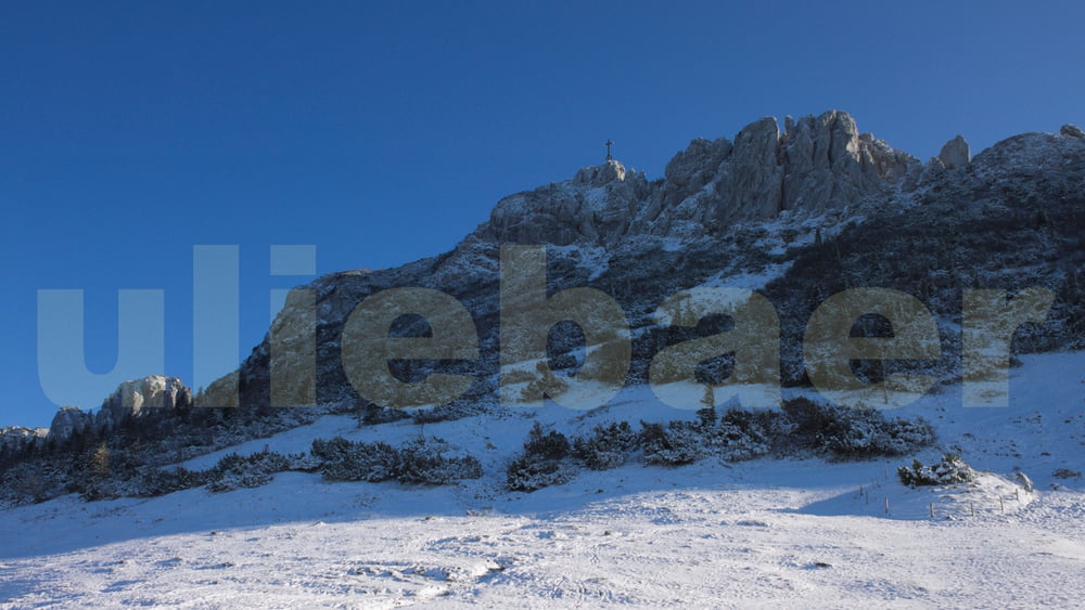
Wir sind von Grassau über die Hochplatte - wobei wir den Gipfel (Aufstieg ca. 1/2 Std) wegen Zeitmangel ausgelassen haben - weiter zur Kampenwand. Auf- und Abstieg zum Gipfel der Kampenwand über die Südseite (nur für Geübte), die Überschreitung wäre schöner gewesen, war aber vereist. Abstieg ins Tal nach Bernau.
Tour gallery


Tour map and elevation profile
Minimum height 583 m
Maximum height 1663 m
More about the tour author
|
|
uliebaer |
Comments

Anfahrt mit zwei Autos. Eins in Bernau stehen lassen und weiter nach Grassau fahren. Evtl. könnte auch von Bernau nach Grassau mit dem Bus gefahren werden, wobei der letzte Bus schon Nachmittags fährt.
GPS tracks
Trackpoints-
GPX / Garmin Map Source (gpx) download
-
TCX / Garmin Training Center® (tcx) download
-
CRS / Garmin Training Center® (crs) download
-
Google Earth (kml) download
-
G7ToWin (g7t) download
-
TTQV (trk) download
-
Overlay (ovl) download
-
Fugawi (txt) download
-
Kompass (DAV) Track (tk) download
-
Track data sheet (pdf) download
-
Original file of the author (gpx) download
More about the tour author
|
|
uliebaer |
Add to my favorites
Remove from my favorites
Edit tags
Open track
My score
Rate