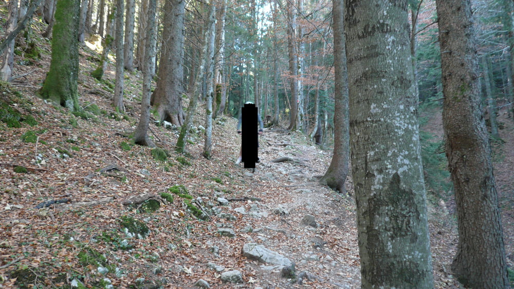
Very nice tour around the Hirschbergh.
The tour has 3 nice trails where the best is saved for last, a downhill on a small skislope.
I would recommend this tour on dry days, required technical skills are an ok ish mountain biker with at least some expiriance on more technical terrain.
Tour gallery
Tour map and elevation profile
Minimum height 756 m
Maximum height 1308 m
Comments

GPS tracks
Trackpoints-
GPX / Garmin Map Source (gpx) download
-
TCX / Garmin Training Center® (tcx) download
-
CRS / Garmin Training Center® (crs) download
-
Google Earth (kml) download
-
G7ToWin (g7t) download
-
TTQV (trk) download
-
Overlay (ovl) download
-
Fugawi (txt) download
-
Kompass (DAV) Track (tk) download
-
Track data sheet (pdf) download
-
Original file of the author (gpx) download
Add to my favorites
Remove from my favorites
Edit tags
Open track
My score
Rate


