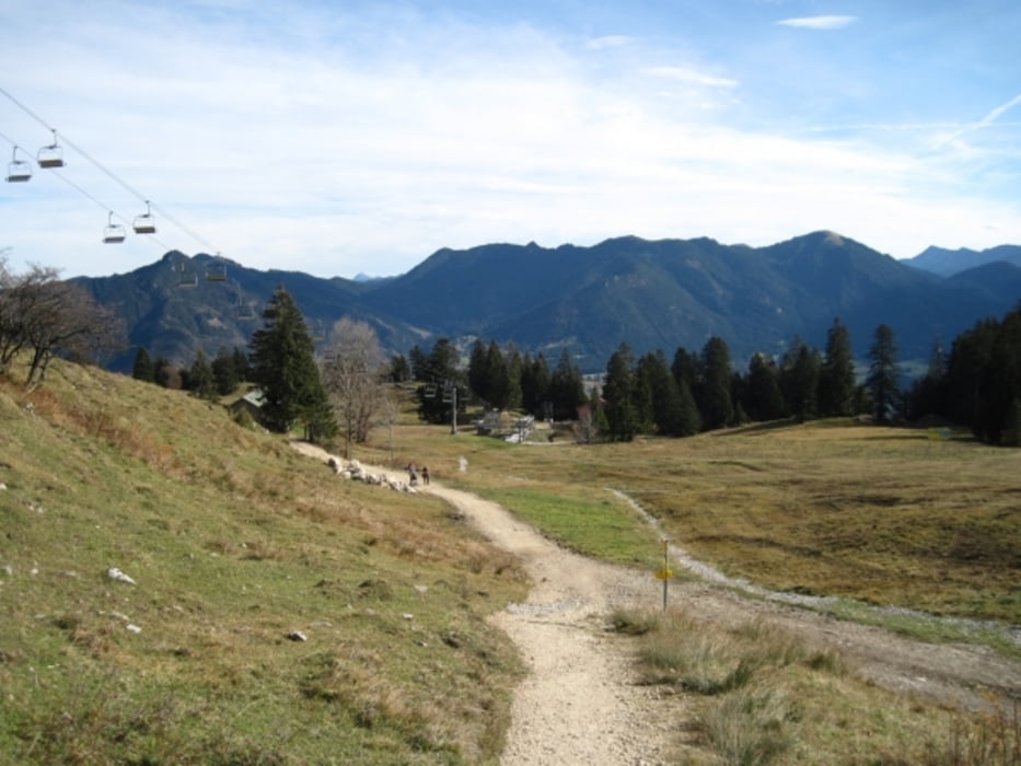
Vom Bahnhof Lengries nach Wegscheid. Von dort über die ausgeschilderten Wege bis zum Brauneck Gipfelhaus. Dort auf dem Weg Nr.2 in Richtung Benediktenwand. An der Sesselliftstation geht es kruz darauf rechts zum Längental / Lengries Weg Nr.2. Von hier aus ist der Weg ausgeschildert nach Lengries.
Teilweise geht es auf Forststraßen, Wege alle unschwer.
Tour gallery
Tour map and elevation profile
Minimum height 676 m
Maximum height 1550 m
Comments

Mit der BOB (Bahn) nach Lengries Bahnhof oder mit dem Auto zur Talstation der Brauneck Bergbahn.
GPS tracks
Trackpoints-
GPX / Garmin Map Source (gpx) download
-
TCX / Garmin Training Center® (tcx) download
-
CRS / Garmin Training Center® (crs) download
-
Google Earth (kml) download
-
G7ToWin (g7t) download
-
TTQV (trk) download
-
Overlay (ovl) download
-
Fugawi (txt) download
-
Kompass (DAV) Track (tk) download
-
Track data sheet (pdf) download
-
Original file of the author (gpx) download
Add to my favorites
Remove from my favorites
Edit tags
Open track
My score
Rate


