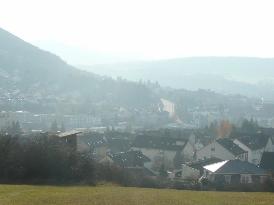
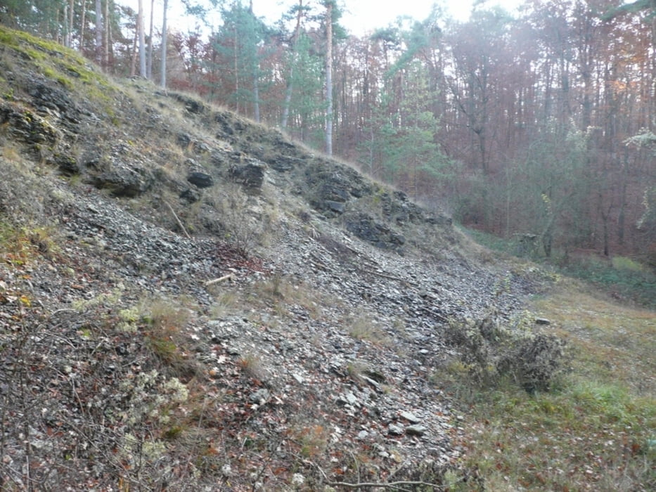
Dieser Rundweg beginnt im Stadtteil Winkels von Bad Kissingen am Sportplatz.
Wir gehen die RTreppenstufen hinauf und folgen einen kleinen Pfad zum Sinnberg.
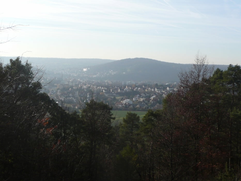
Hier hat man eine sehr schöne Aussicht nach Bad Kissingen . Hier folgen wir den Weg zum Waldschlösschen und von hier aus bis zur Schutzhütte.
Hier zweigt der Weg wieder Richtung Winkels ab.
Tour gallery
Tour map and elevation profile
Minimum height 202 m
Maximum height 371 m
Comments

Münnerstädter Straße Richtung Nüdlingen dann beim Tüv links zum Sportplatz in Winkels
GPS tracks
Trackpoints-
GPX / Garmin Map Source (gpx) download
-
TCX / Garmin Training Center® (tcx) download
-
CRS / Garmin Training Center® (crs) download
-
Google Earth (kml) download
-
G7ToWin (g7t) download
-
TTQV (trk) download
-
Overlay (ovl) download
-
Fugawi (txt) download
-
Kompass (DAV) Track (tk) download
-
Track data sheet (pdf) download
-
Original file of the author (gpx) download
Add to my favorites
Remove from my favorites
Edit tags
Open track
My score
Rate


