


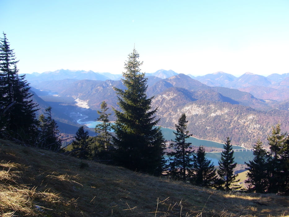
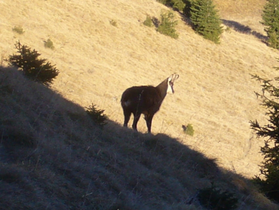
Vom Parkplatz aus geht es über die Klamm durch ein längeres Waldstück über Stock und Stein. Später kommt man dann in freies Gelände, dort kann man mit etwas Glück Gämse beobachten. Weiter geht es Richtung Kamm um über das Dürnbergjoch weiter zum Demeljoch aufzusteigen!
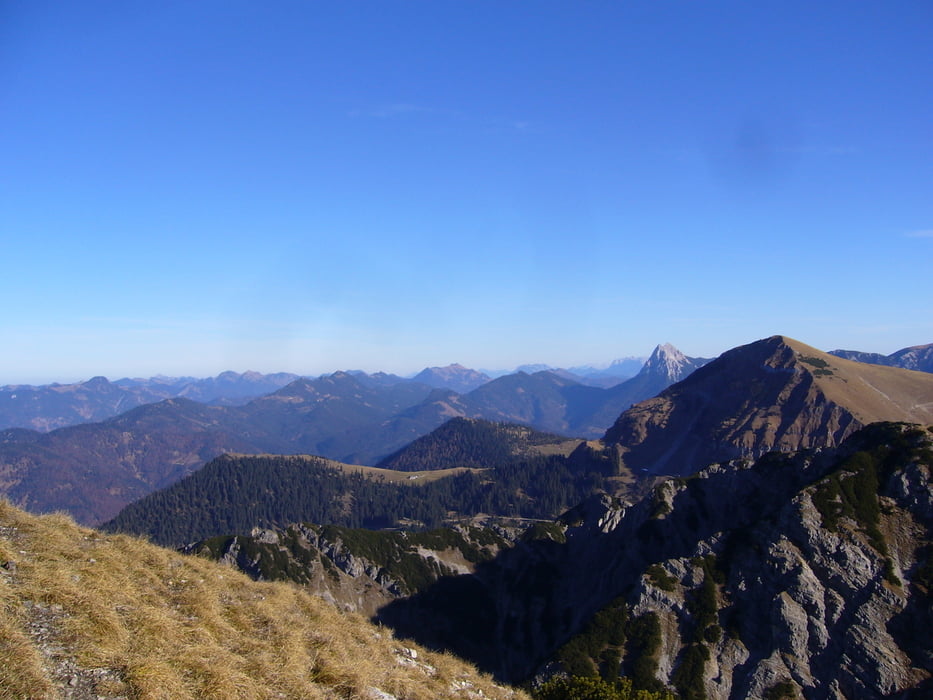
Der Berg ist nicht sehr stark bevölkert. Oben auf dem Gipfel kann man mit einem Fuß in Österreich und den anderen in Deutschland das wundervolle Panorama genießen oder auf den zwei Bänken eine ordentliche Brotzeit machen!
Der Weg ist teilweise etwas steil, aber mit etwas Trittsicherheit kein Problem!
Tour gallery
Tour map and elevation profile
Minimum height 742 m
Maximum height 1917 m
More about the tour author

|
Biene25 |
Comments

Ausgangspunkt für die Tour ist ein kleiner Parkplatz an der Walchenklamm, direkt an der B307 zwischen Bad Tölz und Achenpass.
GPS tracks
Trackpoints-
GPX / Garmin Map Source (gpx) download
-
TCX / Garmin Training Center® (tcx) download
-
CRS / Garmin Training Center® (crs) download
-
Google Earth (kml) download
-
G7ToWin (g7t) download
-
TTQV (trk) download
-
Overlay (ovl) download
-
Fugawi (txt) download
-
Kompass (DAV) Track (tk) download
-
Track data sheet (pdf) download
-
Original file of the author (gpx) download
More about the tour author
|
|
Biene25 |
Add to my favorites
Remove from my favorites
Edit tags
Open track
My score
Rate