


Weitere Bilder: www.panoramio.com/photo/62368037
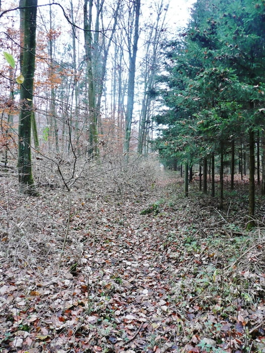
Die Tour ist gekennzeichnet dadurch, dass es an anfangs teilweise auf wilden Waldwegen bergauf und durchaus auch steiler bergab geht (nach dem Steinbruch in Ehningen geht es sogar einen kleinen Teil einfach ohne Weg durch den Wald). In der Mitte der Tour werden in der Regel geteerte Feldwege verwendet, wobei durchaus auch ab und zu ein kurzer Wiesenweg eingebaut ist. In Sindlingen hat man einen tollen Blick auf die Herrenberger Stiftskirche. Belohnt wird man durch grandiose Blicke auf die schwäbische Alb, solange die Sicht dementsprechend ist. Zum Schluss führt ein schöner Weg durch das Entringer Tal hinunter zum Neckar. Dem Neckar folgend ist es nur noch kurz bis Horb. Horb lohnt durchaus einer intensiveren Besichtigung.
Tour gallery


Tour map and elevation profile
Minimum height 379 m
Maximum height 585 m
More about the tour author
|
|
MatthiasBy |
Comments

Gestartet wird in Ehningen am S-Bahnhof. Auch PKW-Parkplätze sind dort vorhanden. Die Züge ab Horb zurück fahren im Stundentakt.
Horb selbst ist eine sehr schöne Stadt: www.horb.de
GPS tracks
Trackpoints-
GPX / Garmin Map Source (gpx) download
-
TCX / Garmin Training Center® (tcx) download
-
CRS / Garmin Training Center® (crs) download
-
Google Earth (kml) download
-
G7ToWin (g7t) download
-
TTQV (trk) download
-
Overlay (ovl) download
-
Fugawi (txt) download
-
Kompass (DAV) Track (tk) download
-
Track data sheet (pdf) download
-
Original file of the author (gpx) download
More about the tour author
|
|
MatthiasBy |
Add to my favorites
Remove from my favorites
Edit tags
Open track
My score
Rate