


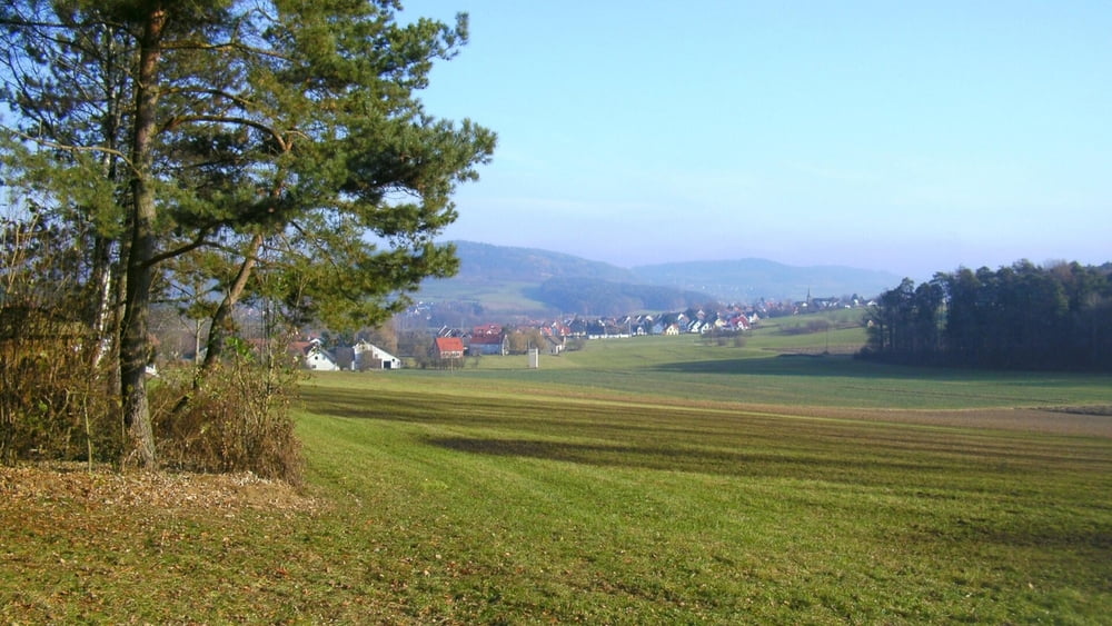
Vom Parkplatz durch Großenbuch nach Osten. Am Ortsausgang geradeaus auf Flurweg weiter. An Straße rechts ab nach Etlaswind. In Ortsmitte links ("Wirtsgässlein") zum Mobilfunkmast oberhalb Oberlindelbach aufwärts. Am Waldende rechts mit "Jakobsweg- Muschel" nach Unterlindelbach. Im Ort links zur Hauptstraße und rechts ("Am Kirschgarten") leicht bergan bis zu Kreuzung am Waldrand. Links durch Kirschgärten weiter. Bei Fahrweg- Linkskurve rechts am Waldrand/ Weidezaun weiter, durch ein kleines Türchen. Gleich danach rechts aufwärts (Blaupunkt), am Waldende links auf Forststraße an Kirschgärten vorbei zu kleinem Teersträßchen (links ab nach Oberlindelbach). Hier rechts ab nach Großenbuch zurück.
Tour gallery

Tour map and elevation profile
Minimum height 338 m
Maximum height 492 m
More about the tour author
|
|
heinz-57 |
Comments

Google Earth: N 49.616830° / E 11.154124°
Von Erlangen oder Forchheim kommend durch Neunkirchen am Brand Richtung Rödlas/ Ermreuth. 1 km hinter Neunkirchen an Abzweigung nach Großenbuch rechts Parkplatz.
GPS tracks
Trackpoints-
GPX / Garmin Map Source (gpx) download
-
TCX / Garmin Training Center® (tcx) download
-
CRS / Garmin Training Center® (crs) download
-
Google Earth (kml) download
-
G7ToWin (g7t) download
-
TTQV (trk) download
-
Overlay (ovl) download
-
Fugawi (txt) download
-
Kompass (DAV) Track (tk) download
-
Track data sheet (pdf) download
-
Original file of the author (gpx) download
More about the tour author
|
|
heinz-57 |
Add to my favorites
Remove from my favorites
Edit tags
Open track
My score
Rate