Login

Forgotten password?

Cookies have to be accepted!
Your browser's cookie functionality is disabled. Please enable this functionality.

Not a member yet?

Register now
Login

Available for registred users only

Log in to use this feature.

Forgotten password?

Cookies have to be accepted!
Your browser's cookie functionality is disabled. Please enable this functionality.

Not a member yet?

Register now
Filter
Categories
Advanced filters
  • Distance (km)
  • Height
Save filters Reset filter

TrackRank

QRCode

Technical data

Distance6,4 km Height301 m Way down296 m Duration03:00 h:m Date24.11.2011
Scores Author Landscape Fun factor Fitness Technique

Statistics

413 Views Scores 23 Downloads Average
Rate
  • Track data sheet
  • Directions
  • Downloads

Bei der Wanderung handelt es sich um einen Rundweg bei dem man das Tschaneck umwandert. Kurz vor dem Ende erreicht man die Gamskogelhütte - ein Ziel mit dem man kleinere Kinder "motivieren" kann.

Der Weg ist nicht für Kinderwagen etc. geeignet, da es teilweise enge, kurze Aufstiege gibt.
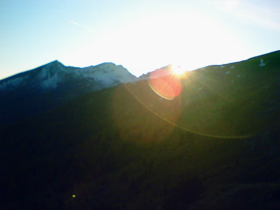
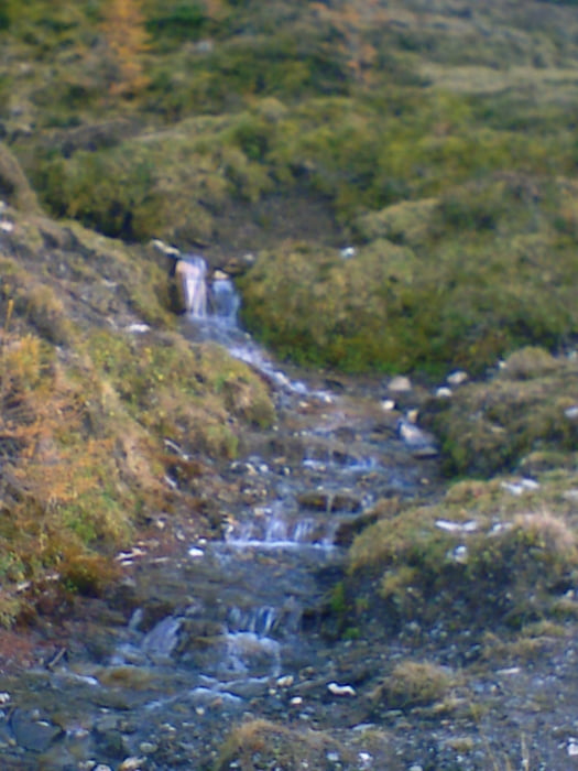
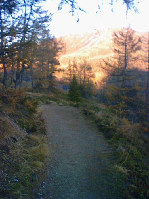
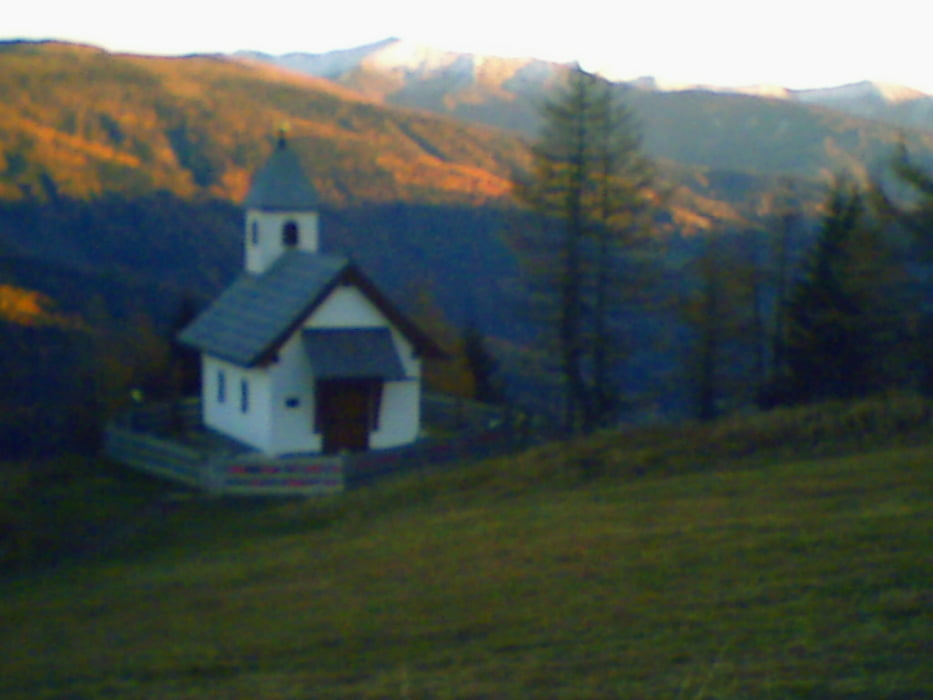
Tour gallery

Tour map and elevation profile

  • Open Street Map
  • Google
Minimum height 1661 m Maximum height 1927 m Detailed view

More about the tour author

Gendrisch
Member since 2010

Send private message

Comments

GPS tracks

Trackpoints
  • GPX / Garmin Map Source (gpx) download
  • TCX / Garmin Training Center® (tcx) download
  • CRS / Garmin Training Center® (crs) download
  • Google Earth (kml) download
  • G7ToWin (g7t) download
  • TTQV (trk) download
  • Overlay (ovl) download
  • Fugawi (txt) download
  • Kompass (DAV) Track (tk) download
  • Track data sheet (pdf) download
  • Original file of the author (gpx) download

More about the tour author

Gendrisch
Member since 2010

Send private message
Share track
Add to my favorites
Remove from my favorites
Edit tags
My score
Rate
Track: Familienwanderung - rund um Tschanek
Type: Hiking
Distance: 6,4 km
Evaluated on:
Duration:
Day(s)
Hour(s)
Minute(s)
Score: Landscape Fun factor Fitness Technique