


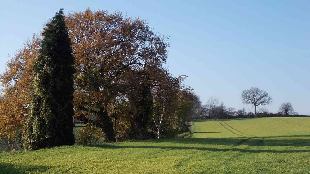
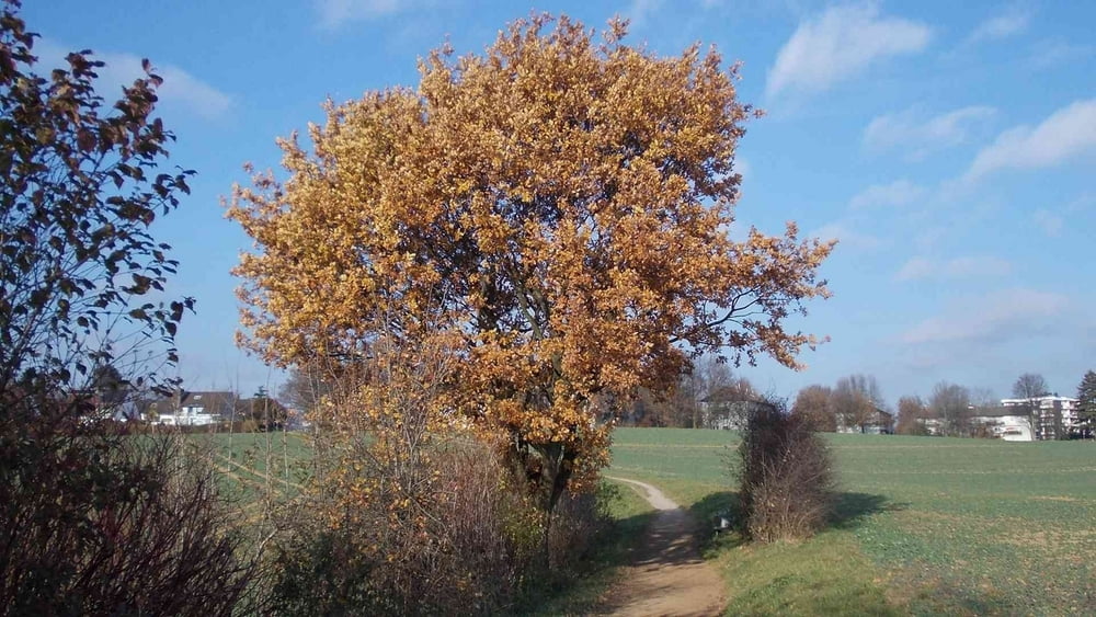
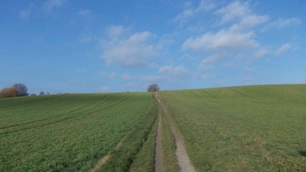
Es geht durch eine landwirtschaftlich intensiv genutzte Landschaft, vorbei an Felder und Wiesen.
In Norden Erkrath - und im Süden der Unterbacher See. Die Landschaft ist reitzvoll. Es ist eine bequeme nette kleine Runde.
Wanderschuhe sind, wenn es einigermaßen trocken ist, nicht erforderlich.
Viel Spaß
Further information at
http://www.teneriffatouren.comTour gallery

Tour map and elevation profile
Minimum height 57 m
Maximum height 111 m
More about the tour author

|
Uerigefan |
Comments

Auto Navi: 40699 Erkrath, Erkrather Str. 2
Ich habe in der Zufahrt des REWE-Lagers geparkt, da standen auch noch andere Wagen (Frauen mit Gassi-Hunden).
Nun, da müssen Sie mal schauen!!
Viel Spaß
GPS tracks
Trackpoints-
GPX / Garmin Map Source (gpx) download
-
TCX / Garmin Training Center® (tcx) download
-
CRS / Garmin Training Center® (crs) download
-
Google Earth (kml) download
-
G7ToWin (g7t) download
-
TTQV (trk) download
-
Overlay (ovl) download
-
Fugawi (txt) download
-
Kompass (DAV) Track (tk) download
-
Track data sheet (pdf) download
-
Original file of the author (gpx) download
More about the tour author
|
|
Uerigefan |
Add to my favorites
Remove from my favorites
Edit tags
Open track
My score
Rate