

Anfahrt:
Dresden - München
1. Tag:
München-Sylvensteinspeicher-Achensee-Kanzelkehre-Zillertal-Hochalpenstrasse (dort lag Schnee, also teilweise gesperrt)-Gerlospass-Krimmel-Mittelsill-dann eigentlich der Grossglockner. Doch der war gesperrt, also Umweg über Matrei nach Heiligenblut!!
2. Tag:
Heiligenblut-Lienz-Pustertal bis Toblach-Misurinasee-Passo Tre Croci-Cortina-Giaupass-Alleghe-Kleine (suepr!) Dorfrunde...-Cavalese-Obereggen
3. Tag
Rundfahrt durch die Dolomiten ins Trentino und Friaul
Levico-Kaiserjäger-Asiago-Passo Rolle-Moena-Fassatal-Karersee-Obereggen
4. Tag
Mountainbiketour am 30.05.2011 um Deutschnofen:
www.gps-tour.info/de/touren/detail.81420.html
5. Tag
Fahrt in Richtung Gardasee: Trento-Monte Bondone-Drena-Sarcetal-Dro-Arco-Pregrasina
6. Tag
Mountainbiketour am 02.06.2011 am Malga Grassi:
www.gps-tour.info/de/touren/detail.81500.html
7. Tag
Mountainbiketour am 03.06.2011 am Tremalzo-Pass:
www.gps-tour.info/de/touren/detail.81950.html
8. Tag
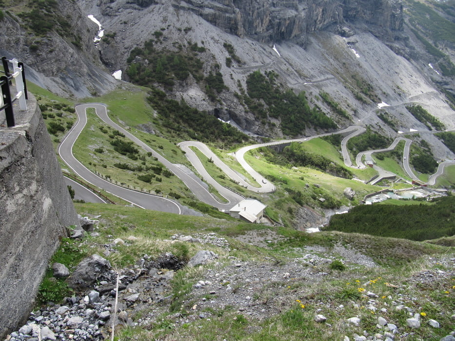
Pregrasina-Madonna de Campiglia-Gaviapass-Bormio-Silfserjoch-Vinschgau-Reschenpass-Serfaus-Landeck-Imst-Ehrwald-Garmisch-Weiheim
Abfahrt
Weilheim-München-erst Autobahn, dann jedoch über das Erzgebirge/Fichtelberg zurück
Tour gallery


Tour map and elevation profile
Minimum height 60 m
Maximum height 2759 m
More about the tour author
|
|
GS_Rider |
Comments

GPS tracks
Trackpoints-
GPX / Garmin Map Source (gpx) download
-
TCX / Garmin Training Center® (tcx) download
-
CRS / Garmin Training Center® (crs) download
-
Google Earth (kml) download
-
G7ToWin (g7t) download
-
TTQV (trk) download
-
Overlay (ovl) download
-
Fugawi (txt) download
-
Kompass (DAV) Track (tk) download
-
Track data sheet (pdf) download
-
Original file of the author (gpx) download
More about the tour author
|
|
GS_Rider |
Add to my favorites
Remove from my favorites
Edit tags
Open track
My score
Rate