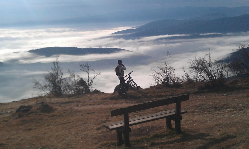
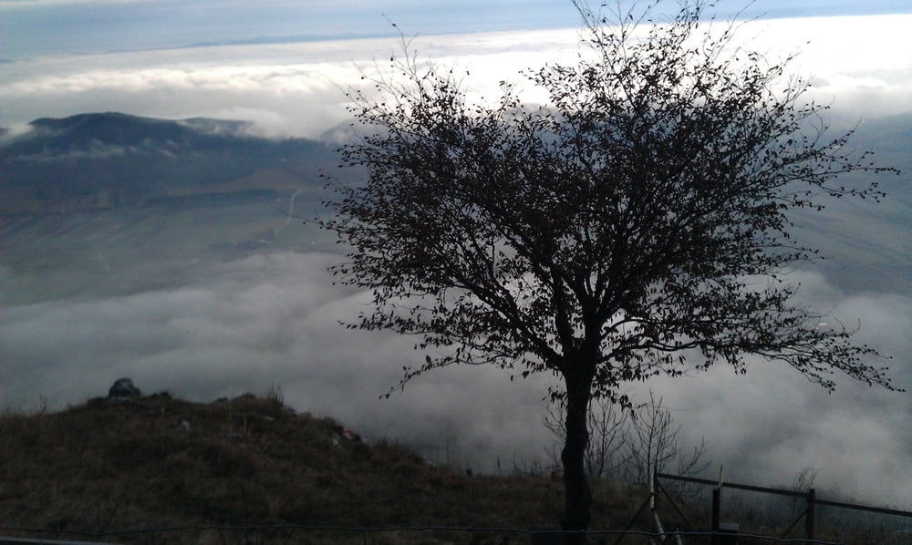
Die Strecke führt über Piesting/Waldegg hoch zur Hohen Wand. Dort dem Grat entlang (traumhafter Blick aufs Tal) geht es über einige Hütten nach Rastberg. Auf der Nordseite der Hohen Wand geht es dann auf der Schotterstrasse Richtung Dürnbach, und zum Schluß der Asfaltstrasse hinunter nach Waldegg.
Anfahrt von Wien etwa 40 min.
Tour gallery
Tour map and elevation profile
Minimum height 365 m
Maximum height 1143 m
Comments

GPS tracks
Trackpoints-
GPX / Garmin Map Source (gpx) download
-
TCX / Garmin Training Center® (tcx) download
-
CRS / Garmin Training Center® (crs) download
-
Google Earth (kml) download
-
G7ToWin (g7t) download
-
TTQV (trk) download
-
Overlay (ovl) download
-
Fugawi (txt) download
-
Kompass (DAV) Track (tk) download
-
Track data sheet (pdf) download
-
Original file of the author (gpx) download
Add to my favorites
Remove from my favorites
Edit tags
Open track
My score
Rate


