


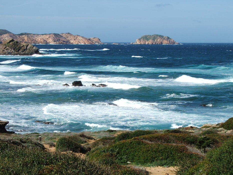
Von Sant Joan de Serra nördlich Ferreries über Binimel=la und Cavalleria bis an die Cala Tirant. Da der Weg an der Bucht nicht begehbar war, führt der Track zur Kreuzung der Landstraßen Me15/ Me7. Besser ist es aber, an der Bucht vorbei zum Ort Cala Tirant oder Ses Salines zu gehen.
Tour gallery


Tour map and elevation profile
Minimum height -9 m
Maximum height 102 m
More about the tour author
|
|
lothardomnik |
Comments

Ausgangspunkt ist das Ende der öffentlichen Straße in Sant Joan de Serra nördlich Ferreries (nur mit Taxi erreichbar). (Seltene) Busverbindung ab Cala Tirant nur im Sommer, ab Ses Salines und der Kreuzung Me15/ Me7 ganzjährig nach Es Mercadal (- Ferreries - Ciutadella) und Mahón.
GPS tracks
Trackpoints-
GPX / Garmin Map Source (gpx) download
-
TCX / Garmin Training Center® (tcx) download
-
CRS / Garmin Training Center® (crs) download
-
Google Earth (kml) download
-
G7ToWin (g7t) download
-
TTQV (trk) download
-
Overlay (ovl) download
-
Fugawi (txt) download
-
Kompass (DAV) Track (tk) download
-
Track data sheet (pdf) download
-
Original file of the author (gpx) download
More about the tour author
|
|
lothardomnik |
Add to my favorites
Remove from my favorites
Edit tags
Open track
My score
Rate