


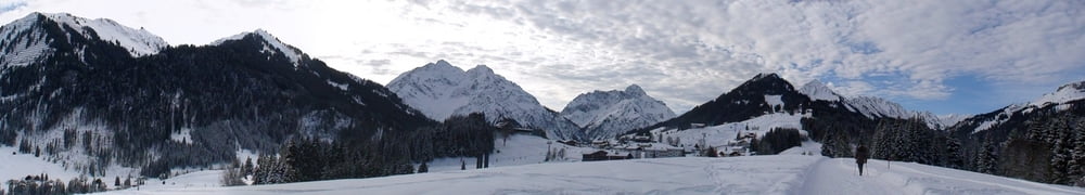
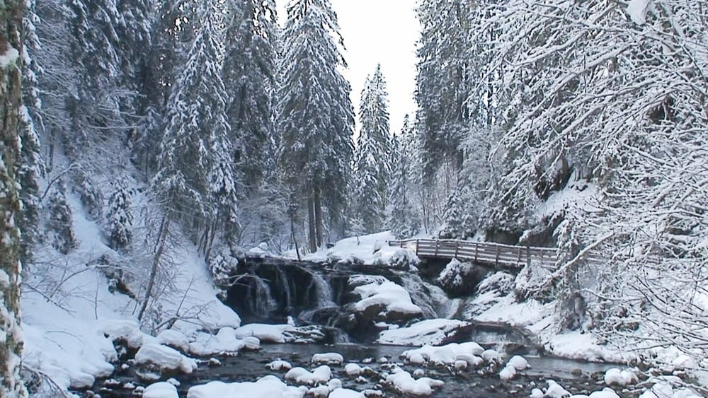
Vom Parkplatz rechts, nach Brücke rechts, links und nochmals rechts am Hotel „Erlebach“ vorbei, dann links über die Höhe nach Au. Rechts ab zum Waldrand, an Abzweig links abwärts und weiter bis Querweg. Links weiter ("Mahdtal- Haus"). Bald aus Wald heraus, an Abzweig rechts zum Mahdtalhaus, hier rechts abwärts zu Brücke; vor dieser links am romantischen "Schwarzwasser- Bach" entlang. An Mündung in die Breitach rechts über Brücke und kurz kräftig bergan, dann rechts nach Rietzlern hinein und nach zünftiger Einkehr zum Ausgangspunkt.
Tour gallery

Tour map and elevation profile
Minimum height 1003 m
Maximum height 1127 m
More about the tour author
|
|
heinz-57 |
Comments

Google Earth: 47.355204° / 10.181816° E
Auf B19 kommend am Kreisverkehr kurz vor Oberstdorf im Kleinwalsertal nach Rietzlern. Gegen Ortsende Parkplatz P5 (Kanzelwand- Bahn).
GPS tracks
Trackpoints-
GPX / Garmin Map Source (gpx) download
-
TCX / Garmin Training Center® (tcx) download
-
CRS / Garmin Training Center® (crs) download
-
Google Earth (kml) download
-
G7ToWin (g7t) download
-
TTQV (trk) download
-
Overlay (ovl) download
-
Fugawi (txt) download
-
Kompass (DAV) Track (tk) download
-
Track data sheet (pdf) download
-
Original file of the author (gpx) download
More about the tour author
|
|
heinz-57 |
Add to my favorites
Remove from my favorites
Edit tags
Open track
My score
Rate