


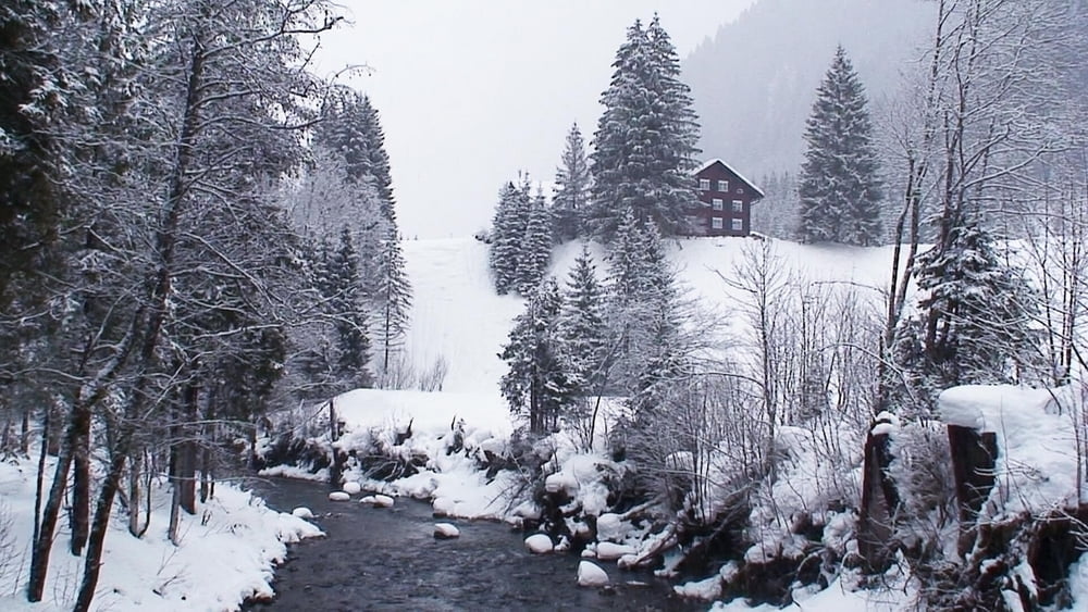
Die kleine Wanderung ist selbst bei schlechtem Wetter- wie bei uns- lohnenswert!
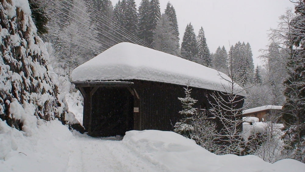
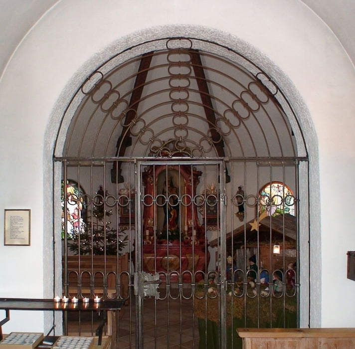
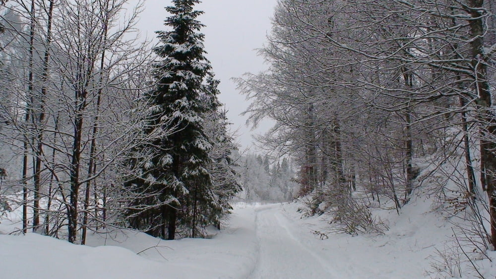
Vom Parkplatz über die Straße, auf dem kleinen Sträßchen Richtung Hirschegg. Nach ca. 1,5km rechts abwärts über die Leidtal- Brücke zur Kapelle "Mariahilf". Zurück und nach links abwärts zum Breitach- Tal. Es geht romantisch dahin. Nach dem 4. Steg rechts durch ein Waldstück kurz kräftig aufwärts. Am Sträßchen vom Herweg nach links zum Parkplatz.
Tour gallery
Tour map and elevation profile
Minimum height 1049 m
Maximum height 1089 m
More about the tour author
|
|
heinz-57 |
Comments

Google Earth: 47.355204° / 10.181816° E
Auf der B19 kommend vor Oberstdorf am Kreisverkehr rechts ins Kleinwalsertal. Am Ortsende von Rietzlern Parkplatz P5 (Kanzelwand- Bahn).
GPS tracks
Trackpoints-
GPX / Garmin Map Source (gpx) download
-
TCX / Garmin Training Center® (tcx) download
-
CRS / Garmin Training Center® (crs) download
-
Google Earth (kml) download
-
G7ToWin (g7t) download
-
TTQV (trk) download
-
Overlay (ovl) download
-
Fugawi (txt) download
-
Kompass (DAV) Track (tk) download
-
Track data sheet (pdf) download
-
Original file of the author (gpx) download
More about the tour author
|
|
heinz-57 |
Add to my favorites
Remove from my favorites
Edit tags
Open track
My score
Rate