


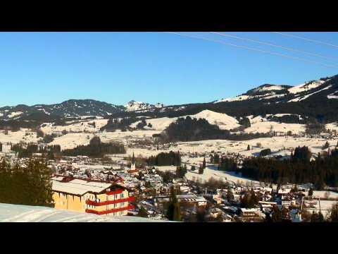
Vom Hotel nach rechts das Sträßchen hoch (ggf. ohne Schneeschuhe), rechts ab zur Loipe, neben dieser links weiter. An Abzweig vor Niederdorf rechts ab ("Oberdorfer Rundloipe 6,1km"). Im Bereich der Loipe (wegen der vielen Zäune!) geht es leicht auf und ab dahin mit herrlichem Panorama nach Oberdorf und weiter nach Niederdorf. Am Abzweig vom Hinweg (s.o.) abwärts und neben Loipe zurück zum Start.
Tour gallery


Tour map and elevation profile
Minimum height 767 m
Maximum height 911 m
More about the tour author
|
|
heinz-57 |
Comments

Google Earth: 47.443284° N / 10.266292° E
Von Fischen auf der B19 kommend am Ortseingang von Langenwang rechts ab zum Hotel "Sonnenbichl".
GPS tracks
Trackpoints-
GPX / Garmin Map Source (gpx) download
-
TCX / Garmin Training Center® (tcx) download
-
CRS / Garmin Training Center® (crs) download
-
Google Earth (kml) download
-
G7ToWin (g7t) download
-
TTQV (trk) download
-
Overlay (ovl) download
-
Fugawi (txt) download
-
Kompass (DAV) Track (tk) download
-
Track data sheet (pdf) download
-
Original file of the author (gpx) download
More about the tour author
|
|
heinz-57 |
Add to my favorites
Remove from my favorites
Edit tags
Open track
My score
Rate